Area Overview for SK13 2AR
Photos of SK13 2AR
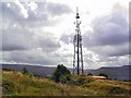
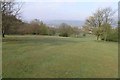
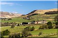
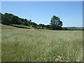
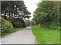
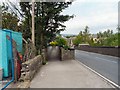
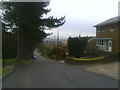
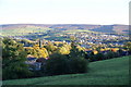
49 photos from this area
Area Information
Key information about the SK13 2AR including its size, population, and administrative classification.
- Area Type
- Postcode
- Area Size
- 8071 m²
- Population
- 1475
- Population Density
- 4105 people/km²
House Prices in SK13 2AR
32
Properties
£133,786
Average Sold Price
£45,000
Lowest Price
£220,000
Highest Price
Showing 32 properties
| Address | Type | Beds | Baths | Last Sale Price | Last Sale Date | |
|---|---|---|---|---|---|---|
| 69 Newshaw Lane, Hadfield, Glossop, SK13 2AR | house | - | - | £190,000 | Jun 2025 | |
| 85 Newshaw Lane, Hadfield, Glossop, SK13 2AR | Terraced | 2 | 1 | £120,000 | May 2021 | |
| 65 Newshaw Lane, Hadfield, Glossop, SK13 2AR | Terraced | 3 | 1 | £195,000 | Feb 2021 | |
| 67 Newshaw Lane, Hadfield, Glossop, SK13 2AR | house | 2 | - | £220,000 | Jan 2021 | |
| 4 Newshaw Lane, Hadfield, Glossop, SK13 2AR | Semi-detached | 3 | 1 | £160,000 | Oct 2020 | |
| Longdale, 79 Newshaw Lane, Hadfield, Glossop, SK13 2AR | Detached | 3 | 1 | £192,000 | Jul 2018 | |
| 20 Newshaw Lane, Hadfield, Glossop, SK13 2AR | house | - | - | £207,000 | May 2017 | |
| 61 Newshaw Lane, Hadfield, Glossop, SK13 2AR | house | - | - | £135,000 | Jul 2015 | |
| 2 Newshaw Lane, Hadfield, Glossop, SK13 2AR | Terraced | - | - | £170,000 | Jun 2014 | |
| 63 Newshaw Lane, Hadfield, Glossop, SK13 2AR | house | - | - | £135,500 | Aug 2013 |
Page 1 of 4
Energy Efficiency in SK13 2AR
Amenities
Schools
| Rank | School | Type | Entry gender | Ages |
|---|
Explore more schools in this area
Go to Schools tabDemographics
Household Size
Two person
most common
Accommodation Type
Houses
most common
Tenure
69
majority
Ethnic Group
White
most common
Religion
N/A
most common
Household Composition
N/A
most common
Age
47
median
Adults (30-64 years)
most common
Household Deprivation
N/A
with no deprivation
NS-SEC
30
in Lower managerial occupations
Explore more demographic insights in this area
Go to Demographics tabPlanning
Planning Constraints
- Flood RiskPremium
- Ramsar Wetland SitesPremium
- Area of Outstanding Natural BeautyPremium
- Protected Nature ReservePremium
- Protected WoodlandPremium