Area Overview for SK13 1EJ
Photos of SK13 1EJ

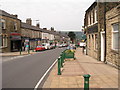
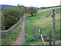
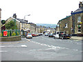
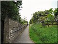
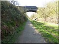
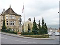
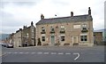
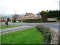
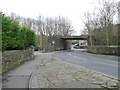
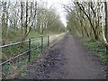
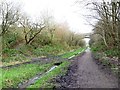
99 photos from this area
Area Information
Key information about the SK13 1EJ including its size, population, and administrative classification.
- Area Type
- Postcode
- Area Size
- 5.9 hectares
- Population
- 1329
- Population Density
- 910 people/km²
House Prices in SK13 1EJ
57
Properties
£172,539
Average Sold Price
£45,000
Lowest Price
£385,000
Highest Price
Showing 57 properties
| Address | Type | Beds | Baths | Last Sale Price | Last Sale Date | |
|---|---|---|---|---|---|---|
| 133 Platt Street, Padfield, Glossop, SK13 1EJ | house | 3 | 1 | £275,000 | Aug 2024 | |
| 113 Platt Street, Padfield, Glossop, SK13 1EJ | Terraced | 3 | 1 | £232,000 | Dec 2023 | |
| 101A Platt Street, Padfield, Glossop, SK13 1EJ | Terraced | 3 | 1 | £280,000 | Oct 2023 | |
| 95-97 Platt Street, Padfield, Glossop, SK13 1EJ | Terraced | 3 | 2 | £310,000 | Aug 2023 | |
| 145 Platt Street, Padfield, Glossop, SK13 1EJ | Terraced | 2 | 1 | £200,000 | May 2022 | |
| 16 Platt Street, Padfield, Glossop, SK13 1EJ | Terraced | 3 | 2 | £263,000 | Sep 2021 | |
| 149 Platt Street, Padfield, Glossop, SK13 1EJ | Retail | 2 | 1 | £223,000 | Sep 2021 | |
| 90 Platt Street, Padfield, Glossop, SK13 1EJ | house | - | - | £371,500 | Jun 2021 | |
| 137 Platt Street, Padfield, Glossop, SK13 1EJ | Terraced | 2 | 1 | £182,500 | Apr 2021 | |
| 107 Platt Street, Padfield, Glossop, SK13 1EJ | Terraced | 3 | 1 | £223,500 | Mar 2021 |
Page 1 of 6
Energy Efficiency in SK13 1EJ
Amenities
Schools
| Rank | School | Type | Entry gender | Ages |
|---|
Explore more schools in this area
Go to Schools tabDemographics
Household Size
Two person
most common
Accommodation Type
Houses
most common
Tenure
74
majority
Ethnic Group
White
most common
Religion
N/A
most common
Household Composition
N/A
most common
Age
47
median
Adults (30-64 years)
most common
Household Deprivation
N/A
with no deprivation
NS-SEC
43
in Lower managerial occupations
Explore more demographic insights in this area
Go to Demographics tabPlanning
Planning Constraints
- Flood RiskPremium
- Ramsar Wetland SitesPremium
- Area of Outstanding Natural BeautyPremium
- Protected Nature ReservePremium
- Protected WoodlandPremium