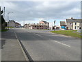
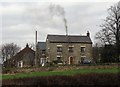
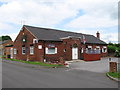
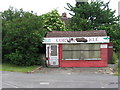
Area Overview for Shuttlewood
Photos of Shuttlewood


Area Information
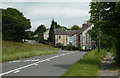
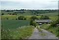
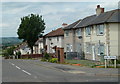
Shuttlewood is a compact built-up area in England, spanning 37 hectares. It is a community where the median age is 70, suggesting a population skewed towards older residents. Despite its modest size, the area offers a blend of residential living and practical amenities. The high home ownership rate of 72% indicates a stable, long-term community. Daily life in Shuttlewood is shaped by its proximity to retail outlets, rail networks, and local schools. The area’s character is defined by its accessibility to nearby towns and the presence of essential services. For those considering living in Shuttlewood, the balance between residential tranquillity and nearby connectivity makes it a practical choice, particularly for those prioritising convenience over urban vibrancy. The area’s size ensures a close-knit feel, while its amenities cater to everyday needs. Whether you’re seeking a retirement home or a place to settle with a family, Shuttlewood provides a straightforward, no-frills environment.
- Area Type
- Built Up Area 250
- Area Size
- 37.0 hectares
- Population
- Not available
- Population Density
- Not available
Residents of Shuttlewood have access to a variety of amenities within easy reach. The five retail outlets, including Farmfoods Bolsover and Morrisons Bolsover, provide essential shopping options, while Asda Markham adds further convenience. The area’s rail network, with stations like Creswell and Whitwell, connects to broader regional transport links. For public transport, the Coach Station and two metro platforms—Halfway and Westfield—offer additional mobility. Though the data does not specify parks or leisure facilities, the presence of multiple retail and transport hubs suggests a practical, service-oriented lifestyle. The compact nature of Shuttlewood means amenities are clustered, reducing the need for lengthy commutes. This setup is ideal for those prioritising accessibility over expansive green spaces, though residents may seek nearby towns for more extensive recreational options.
Amenities
Schools
The nearest school to Shuttlewood is Brockley Primary School, which provides education for younger children and holds a good Ofsted rating. This indicates a reliable local education option for families with primary-aged children. The absence of secondary schools or other educational institutions in the immediate vicinity means residents may need to travel to nearby towns for higher education. For families prioritising a strong primary school, Brockley’s rating offers reassurance. However, those requiring secondary schooling should consider proximity to larger towns or schools outside Shuttlewood. The single primary school listed reflects the area’s limited educational infrastructure, which may influence decisions for households with children at different stages of their education.
| Rank | School | Type | Entry gender | Ages |
|---|
Explore more schools in this area
Go to Schools tabDemographics
The population of Shuttlewood has a median age of 70, with the most common age range encompassing the total population. This suggests a community where older residents form a significant proportion. Home ownership is high, with 72% of households owning their homes, indicating a settled demographic. The data does not specify household composition or accommodation types, but the overall profile points to a mature, stable population. The area’s demographics do not provide figures on ethnic diversity or religious composition, but the absence of specific data does not imply homogeneity. For quality of life, the high home ownership rate may correlate with lower deprivation, though this is not explicitly stated. The age profile suggests a community where services and amenities may be tailored to older residents, though this is not confirmed by the data.
Household Size
Accommodation Type
Tenure
Ethnic Group
Religion
Household Composition
Age
Household Deprivation
NS-SEC
Explore more demographic insights in this area
Go to Demographics tabPlanning
Planning Constraints
- Crime RiskPremium