Area Overview for Scotton
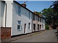
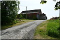
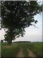
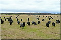
Photos of Scotton

Area Information
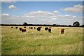
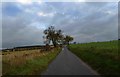
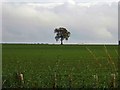
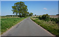
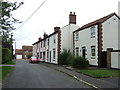
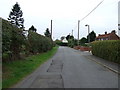
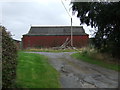
Scotton is a civil parish situated in England with a total land area of 9.3 square kilometres. This relatively small footprint defines the character of the place, creating a contained environment for its residents. Living in Scotton means operating within a defined rural or semi-rural boundary where space is limited but distinct. The area functions as a self-contained community rather than a sprawling urban district. You will find that daily life here revolves around this specific locale without the pressure to commute far for everything. The scale of the parish suggests a pace of life that differs from larger metropolitan regions. Property options are naturally bounded by these geographical limits. When considering Scotton as a base, you are looking at a location where the physical environment dictates the rhythm of neighbourhood life. The name appears frequently in official records because it defines a specific administrative region. This context is vital for anyone researching homes in the area. You must understand the physical constraints of the land before finalising your choices in Scotton. The size of the parish influences how services are distributed and how residents interact with one another.
- Area Type
- Parish
- Area Size
- 9.3 km²
- Population
- Not available
- Population Density
- Not available
Demographics
The community in Scotton presents a clear demographic profile driven largely by an older population base. Data shows that the median age of residents is seventy years old. This figure indicates that half of all people living in Scotton are older than this age mark. The most common age range recorded is simply listed as total, suggesting a broad spread across other brackets or a dominance of the older cohort. With a median age of seventy, you will encounter a neighbourhood where pensioners and retirees make up a significant portion of the population. Home ownership stands at eighty-six per cent, proving that the vast majority of households buy their properties rather than rent them. This high level of stability suggests long-term residents who have put down roots in the area. Household composition data is recorded under total, meaning specific breakdowns of family size or structure are not detailed in the current records. Similarly, information regarding predominant ethnic groups and religious affiliations remains under the total category, indicating no granular detail is available for those specific metrics. Despite the lack of diversity data, the high ownership rate and advanced median age point to a settled, perhaps traditional community. You can expect a demographic landscape defined by age rather than by varied household structures or recent migration patterns.
Household Size
Accommodation Type
Tenure
Ethnic Group
Religion
Household Composition
Age
Household Deprivation
NS-SEC
Explore more demographic insights in this area
Go to Demographics tabPlanning
Planning Constraints
- Flood RiskPremium
- Ramsar Wetland SitesPremium
- Area of Outstanding Natural BeautyPremium
- Protected Nature ReservePremium
- Protected WoodlandPremium
- Crime RiskPremium