Area Overview for S80 4HS
Photos of S80 4HS
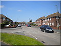
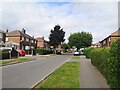
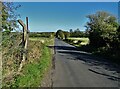
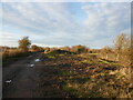
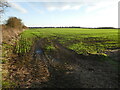
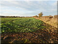
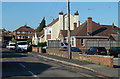
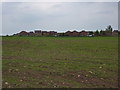
19 photos from this area
Area Information
Key information about the S80 4HS including its size, population, and administrative classification.
- Area Type
- Postcode
- Area Size
- 53.2 hectares
- Population
- 1571
- Population Density
- 171 people/km²
House Prices in S80 4HS
18
Properties
£199,125
Average Sold Price
£33,000
Lowest Price
£675,000
Highest Price
Showing 18 properties
| Address | Type | Beds | Baths | Last Sale Price | Last Sale Date | |
|---|---|---|---|---|---|---|
| 20 Hazelmere Road, Creswell, S80 4HS | Semi-detached | 3 | 1 | £122,500 | Jun 2024 | |
| 16 Hazelmere Road, Creswell, S80 4HS | Retail | 3 | 2 | £137,500 | Dec 2022 | |
| 22 Hazelmere Road, Creswell, S80 4HS | house | - | - | £135,000 | Oct 2021 | |
| 24 Hazelmere Road, Creswell, S80 4HS | Detached | 3 | 3 | £272,000 | Oct 2021 | |
| Lower Mill, Hazelmere Road, Creswell, S80 4HS | Detached | 6 | 4 | £675,000 | Feb 2021 | |
| 12 Hazelmere Road, Creswell, S80 4HS | Terraced | 2 | - | £93,000 | Jul 2017 | |
| 18 Hazelmere Road, Creswell, S80 4HS | Detached | 6 | 4 | £33,000 | Dec 2001 | |
| 1 Hazelmere Road, Creswell, S80 4HS | Detached | 4 | 2 | £125,000 | Jun 2001 | |
| Littlecote, Hazelmere Road, Creswell, S80 4HS | Detached | 5 | 2 | - | - | |
| Hazelmere Farm, Hazelmere Road, Creswell, S80 4HS | Detached | - | - | - | - |
Page 1 of 2
Energy Efficiency in S80 4HS
Amenities
Schools
| Rank | School | Type | Entry gender | Ages |
|---|
Explore more schools in this area
Go to Schools tabDemographics
Household Size
Two person
most common
Accommodation Type
Houses
most common
Tenure
66
majority
Ethnic Group
White
most common
Religion
N/A
most common
Household Composition
N/A
most common
Age
47
median
Adults (30-64 years)
most common
Household Deprivation
N/A
with no deprivation
NS-SEC
23
in Lower managerial occupations
Explore more demographic insights in this area
Go to Demographics tabPlanning
Planning Constraints
- Flood RiskPremium
- Ramsar Wetland SitesPremium
- Area of Outstanding Natural BeautyPremium
- Protected Nature ReservePremium
- Protected WoodlandPremium