Area Overview for S80 4GN
Photos of S80 4GN
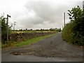
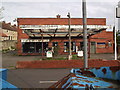
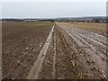
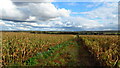
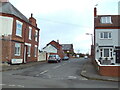
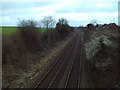
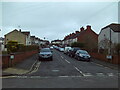
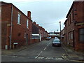
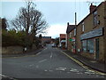
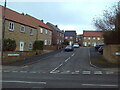
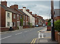
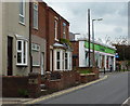
31 photos from this area
Area Information
Key information about the S80 4GN including its size, population, and administrative classification.
- Area Type
- Postcode
- Area Size
- 3695 m²
- Population
- 1354
- Population Density
- 116 people/km²
House Prices in S80 4GN
9
Properties
£197,875
Average Sold Price
£155,000
Lowest Price
£240,000
Highest Price
Showing 9 properties
| Address | Type | Beds | Baths | Last Sale Price | Last Sale Date | |
|---|---|---|---|---|---|---|
| 6 Old Green Close, Whitwell, S80 4GN | Terraced | 4 | 3 | £235,000 | Mar 2023 | |
| 7 Old Green Close, Whitwell, S80 4GN | Terraced | 4 | 2 | £190,000 | Nov 2021 | |
| 5 Old Green Close, Whitwell, S80 4GN | Detached | 4 | 3 | £210,000 | Feb 2019 | |
| 4 Old Green Close, Whitwell, S80 4GN | house | - | - | £240,000 | Dec 2016 | |
| 2 Old Green Close, Whitwell, S80 4GN | Detached | 3 | 1 | £188,000 | May 2014 | |
| 1 Old Green Close, Whitwell, S80 4GN | house | - | - | £190,000 | Jul 2011 | |
| 8 Old Green Close, Whitwell, S80 4GN | house | - | - | £155,000 | Jun 2010 | |
| 3 Old Green Close, Whitwell, S80 4GN | Bungalow | 2 | - | £175,000 | Apr 2010 | |
| The Evergreens, 3A Old Green Close, Whitwell, S80 4GN | Bungalow | 3 | - | - | - |
Energy Efficiency in S80 4GN
Amenities
Schools
| Rank | School | Type | Entry gender | Ages |
|---|
Explore more schools in this area
Go to Schools tabDemographics
Household Size
Two person
most common
Accommodation Type
Houses
most common
Tenure
79
majority
Ethnic Group
White
most common
Religion
N/A
most common
Household Composition
N/A
most common
Age
47
median
Adults (30-64 years)
most common
Household Deprivation
N/A
with no deprivation
NS-SEC
33
in Lower managerial occupations
Explore more demographic insights in this area
Go to Demographics tabPlanning
Planning Constraints
- Flood RiskPremium
- Ramsar Wetland SitesPremium
- Area of Outstanding Natural BeautyPremium
- Protected Nature ReservePremium
- Protected WoodlandPremium