Area Overview for S80 4BS
Photos of S80 4BS
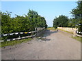
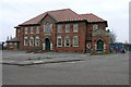
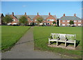
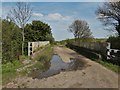
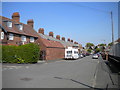
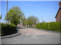
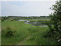
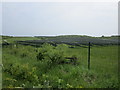
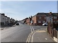
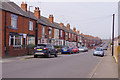
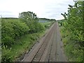
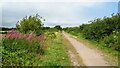
37 photos from this area
Area Information
Key information about the S80 4BS including its size, population, and administrative classification.
- Area Type
- Postcode
- Area Size
- 2.7 hectares
- Population
- 1932
- Population Density
- 1885 people/km²
House Prices in S80 4BS
62
Properties
£83,516
Average Sold Price
£47,500
Lowest Price
£120,000
Highest Price
Showing 62 properties
| Address | Type | Beds | Baths | Last Sale Price | Last Sale Date | |
|---|---|---|---|---|---|---|
| 138 Model Village, Creswell, S80 4BS | Terraced | 3 | 1 | £115,000 | Dec 2025 | |
| 212 Model Village, Creswell, S80 4BS | Terraced | 3 | 1 | £120,000 | Jul 2024 | |
| 164 Model Village, Creswell, S80 4BS | Terraced | 4 | 2 | £110,000 | Sep 2023 | |
| 208 Model Village, Creswell, S80 4BS | Terraced | 3 | 1 | £80,000 | May 2023 | |
| 222 Model Village, Creswell, S80 4BS | Retail | 3 | 2 | £101,000 | Oct 2022 | |
| 162 Model Village, Creswell, S80 4BS | Detached | 3 | 2 | £86,750 | Jul 2022 | |
| 210 Model Village, Creswell, S80 4BS | house | - | - | £85,500 | Jun 2021 | |
| 160 Model Village, Creswell, S80 4BS | Semi-detached | 3 | 1 | £85,000 | May 2021 | |
| 140 Model Village, Creswell, S80 4BS | Terraced | 3 | 1 | £75,000 | Nov 2018 | |
| 216 Model Village, Creswell, S80 4BS | Terraced | 3 | 1 | £67,500 | Jan 2017 |
Page 1 of 7
Energy Efficiency in S80 4BS
Amenities
Schools
| Rank | School | Type | Entry gender | Ages |
|---|
Explore more schools in this area
Go to Schools tabDemographics
Household Size
Two person
most common
Accommodation Type
Houses
most common
Tenure
46
majority
Ethnic Group
White
most common
Religion
N/A
most common
Household Composition
N/A
most common
Age
47
median
Adults (30-64 years)
most common
Household Deprivation
N/A
with no deprivation
NS-SEC
17
in Lower managerial occupations
Explore more demographic insights in this area
Go to Demographics tabPlanning
Planning Constraints
- Flood RiskPremium
- Ramsar Wetland SitesPremium
- Area of Outstanding Natural BeautyPremium
- Protected Nature ReservePremium
- Protected WoodlandPremium