Area Overview for S80 2HP
Photos of S80 2HP
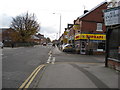
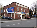
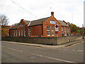
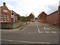


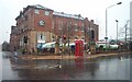
100 photos from this area
Area Information
Key information about the S80 2HP including its size, population, and administrative classification.
- Area Type
- Postcode
- Area Size
- 4399 m²
- Population
- 1798
- Population Density
- 6699 people/km²
House Prices in S80 2HP
22
Properties
£55,571
Average Sold Price
£28,500
Lowest Price
£77,000
Highest Price
Showing 22 properties
| Address | Type | Beds | Baths | Last Sale Price | Last Sale Date | |
|---|---|---|---|---|---|---|
| 120 Potter Street, Worksop, S80 2HP | Terraced | 3 | 1 | £56,500 | Aug 2025 | |
| 124 Potter Street, Worksop, S80 2HP | Terraced | 2 | 1 | £65,000 | Jan 2025 | |
| 126 Potter Street, Worksop, S80 2HP | Terraced | 2 | 1 | £48,000 | Feb 2023 | |
| 94 Potter Street, Worksop, S80 2HP | Terraced | 2 | 1 | £77,000 | Dec 2020 | |
| 96 Potter Street, Worksop, S80 2HP | Terraced | 2 | 1 | £77,000 | Jul 2018 | |
| 114 Potter Street, Worksop, S80 2HP | Terraced | 1 | 1 | £28,500 | Mar 2015 | |
| 92 Potter Street, Worksop, S80 2HP | Terraced | 2 | 1 | £37,000 | Jul 2003 | |
| 116 Potter Street, Worksop, S80 2HP | Terraced | 3 | 1 | - | - | |
| 116A Potter Street, Worksop, S80 2HP | house | 2 | - | - | - | |
| 122C Potter Street, Worksop, S80 2HP | Flat | - | - | - | - |
Page 1 of 3
Energy Efficiency in S80 2HP
Amenities
Schools
| Rank | School | Type | Entry gender | Ages |
|---|
Explore more schools in this area
Go to Schools tabDemographics
Household Size
Family (3-5 people)
most common
Accommodation Type
Houses
most common
Tenure
25
majority
Ethnic Group
White
most common
Religion
N/A
most common
Household Composition
N/A
most common
Age
47
median
Adults (30-64 years)
most common
Household Deprivation
N/A
with no deprivation
NS-SEC
8
in Lower managerial occupations
Explore more demographic insights in this area
Go to Demographics tabPlanning
Planning Constraints
- Flood RiskPremium
- Ramsar Wetland SitesPremium
- Area of Outstanding Natural BeautyPremium
- Protected Nature ReservePremium
- Protected WoodlandPremium