Area Overview for S45 9NQ
Photos of S45 9NQ

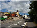

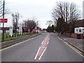
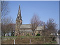
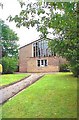
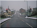
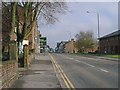
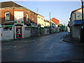
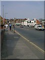

100 photos from this area
Area Information
Key information about the S45 9NQ including its size, population, and administrative classification.
- Area Type
- Postcode
- Area Size
- 1.3 hectares
- Population
- 2329
- Population Density
- 1210 people/km²
House Prices in S45 9NQ
53
Properties
£85,981
Average Sold Price
£20,000
Lowest Price
£175,500
Highest Price
Showing 53 properties
| Address | Type | Beds | Baths | Last Sale Price | Last Sale Date | |
|---|---|---|---|---|---|---|
| 32 John Street, Clay Cross, S45 9NQ | house | - | - | £99,000 | Jul 2025 | |
| 3 John Street, Clay Cross, S45 9NQ | Terraced | 2 | 1 | £102,000 | Apr 2024 | |
| 20 John Street, Clay Cross, S45 9NQ | house | 2 | 1 | £117,000 | Dec 2022 | |
| 48 John Street, Clay Cross, S45 9NQ | Terraced | 2 | 1 | £93,000 | Nov 2022 | |
| 66 John Street, Clay Cross, S45 9NQ | Terraced | 2 | 1 | £105,000 | Oct 2022 | |
| 18 John Street, Clay Cross, S45 9NQ | house | - | - | £75,000 | Apr 2022 | |
| 70 John Street, Clay Cross, S45 9NQ | Semi-detached | 2 | 1 | £86,000 | Jan 2022 | |
| 5 John Street, Clay Cross, S45 9NQ | house | - | - | £120,000 | Oct 2021 | |
| 46 John Street, Clay Cross, S45 9NQ | Terraced | 4 | 2 | £175,500 | Jul 2021 | |
| 56 John Street, Clay Cross, S45 9NQ | Terraced | 2 | - | £100,000 | Jan 2021 |
Page 1 of 6
Energy Efficiency in S45 9NQ
Amenities
Schools
| Rank | School | Type | Entry gender | Ages |
|---|
Explore more schools in this area
Go to Schools tabDemographics
Household Size
One person
most common
Accommodation Type
Houses
most common
Tenure
54
majority
Ethnic Group
White
most common
Religion
N/A
most common
Household Composition
N/A
most common
Age
47
median
Adults (30-64 years)
most common
Household Deprivation
N/A
with no deprivation
NS-SEC
24
in Lower managerial occupations
Explore more demographic insights in this area
Go to Demographics tabPlanning
Planning Constraints
- Flood RiskPremium
- Ramsar Wetland SitesPremium
- Area of Outstanding Natural BeautyPremium
- Protected Nature ReservePremium
- Protected WoodlandPremium