Area Overview for S45 9FD
Photos of S45 9FD

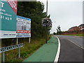
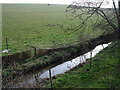
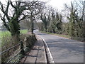
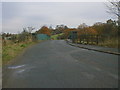
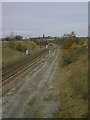
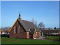
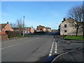
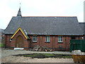
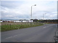
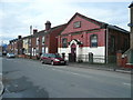
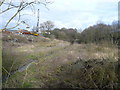
74 photos from this area
Area Information
Key information about the S45 9FD including its size, population, and administrative classification.
- Area Type
- Postcode
- Area Size
- 4.5 hectares
- Population
- 1407
- Population Density
- 2012 people/km²
House Prices in S45 9FD
78
Properties
£178,880
Average Sold Price
£86,250
Lowest Price
£309,000
Highest Price
Showing 78 properties
| Address | Type | Beds | Baths | Last Sale Price | Last Sale Date | |
|---|---|---|---|---|---|---|
| 6 Bloomery Way, Clay Cross, S45 9FD | Detached | 5 | 3 | £280,000 | Mar 2025 | |
| 25 Bloomery Way, Clay Cross, S45 9FD | house | 4 | 2 | £170,000 | Jan 2025 | |
| 44A Bloomery Way, Clay Cross, S45 9FD | Flat | - | - | £105,000 | Nov 2024 | |
| 51 Bloomery Way, Clay Cross, S45 9FD | Detached | 5 | 2 | £290,000 | Sep 2024 | |
| 62 Bloomery Way, Clay Cross, S45 9FD | Detached | 4 | 2 | £230,000 | Jan 2024 | |
| 31 Bloomery Way, Clay Cross, S45 9FD | Detached | 3 | 2 | £210,000 | Jan 2024 | |
| 69 Bloomery Way, Clay Cross, S45 9FD | Detached | 4 | 3 | £210,000 | Oct 2023 | |
| 48 Bloomery Way, Clay Cross, S45 9FD | Terraced | 2 | 1 | £135,000 | Jul 2023 | |
| 53 Bloomery Way, Clay Cross, S45 9FD | Detached | 3 | 1 | £217,500 | Jul 2023 | |
| 43 Bloomery Way, Clay Cross, S45 9FD | Detached | 3 | 2 | £210,000 | Jul 2023 |
Page 1 of 8
Energy Efficiency in S45 9FD
Amenities
Schools
| Rank | School | Type | Entry gender | Ages |
|---|
Explore more schools in this area
Go to Schools tabDemographics
Household Size
Two person
most common
Accommodation Type
Houses
most common
Tenure
64
majority
Ethnic Group
White
most common
Religion
N/A
most common
Household Composition
N/A
most common
Age
47
median
Adults (30-64 years)
most common
Household Deprivation
N/A
with no deprivation
NS-SEC
25
in Lower managerial occupations
Explore more demographic insights in this area
Go to Demographics tabPlanning
Planning Constraints
- Flood RiskPremium
- Ramsar Wetland SitesPremium
- Area of Outstanding Natural BeautyPremium
- Protected Nature ReservePremium
- Protected WoodlandPremium