Area Overview for S45 0AP
Photos of S45 0AP
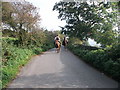
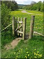
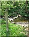
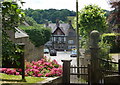
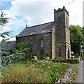
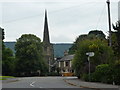
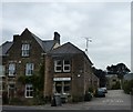
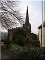
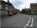
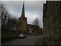
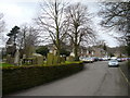
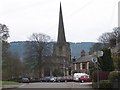
81 photos from this area
Area Information
Key information about the S45 0AP including its size, population, and administrative classification.
- Area Type
- Postcode
- Area Size
- 1.1 hectares
- Population
- 1959
- Population Density
- 51 people/km²
House Prices in S45 0AP
9
Properties
£330,750
Average Sold Price
£168,000
Lowest Price
£445,750
Highest Price
Showing 9 properties
| Address | Type | Beds | Baths | Last Sale Price | Last Sale Date | |
|---|---|---|---|---|---|---|
| Ellswood, Chapel Hill, Ashover, S45 0AP | Detached | 3 | 2 | £445,750 | Mar 2025 | |
| Spring Cottage, Chapel Hill, Ashover, S45 0AP | house | 3 | - | £325,000 | Oct 2010 | |
| Hillcroft, Chapel Hill, Ashover, S45 0AP | Detached | 3 | - | £345,000 | Jul 2010 | |
| Holly Cottage, Chapel Hill, Ashover, S45 0AP | Detached | 3 | - | £370,000 | Dec 2004 | |
| Weavers Cottage, Chapel Hill, Ashover, S45 0AP | house | 3 | - | £168,000 | Sep 1997 | |
| Moorcroft, Chapel Hill, Ashover, S45 0AP | Detached | - | - | - | - | |
| Marshall Cottage, Chapel Hill, Ashover, S45 0AP | Detached | - | - | - | - | |
| Stoney Lea, Chapel Hill, Ashover, S45 0AP | Detached | - | - | - | - | |
| Ashby Croft, Chapel Hill, Ashover, S45 0AP | Detached | - | - | - | - |
Energy Efficiency in S45 0AP
Amenities
Schools
| Rank | School | Type | Entry gender | Ages |
|---|
Explore more schools in this area
Go to Schools tabDemographics
Household Size
Two person
most common
Accommodation Type
Houses
most common
Tenure
79
majority
Ethnic Group
White
most common
Religion
N/A
most common
Household Composition
N/A
most common
Age
47
median
Adults (30-64 years)
most common
Household Deprivation
N/A
with no deprivation
NS-SEC
41
in Lower managerial occupations
Explore more demographic insights in this area
Go to Demographics tabPlanning
Planning Constraints
- Flood RiskPremium
- Ramsar Wetland SitesPremium
- Area of Outstanding Natural BeautyPremium
- Protected Nature ReservePremium
- Protected WoodlandPremium