Area Overview for S44 6RG
Photos of S44 6RG
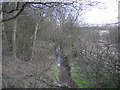
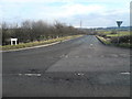
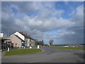
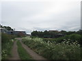
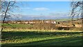
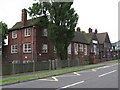
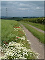
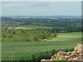
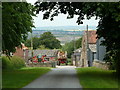
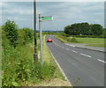
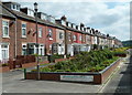
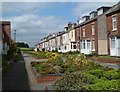
21 photos from this area
Area Information
Key information about the S44 6RG including its size, population, and administrative classification.
- Area Type
- Postcode
- Area Size
- 12.3 hectares
- Population
- 2252
- Population Density
- 253 people/km²
House Prices in S44 6RG
49
Properties
£73,950
Average Sold Price
£12,000
Lowest Price
£143,000
Highest Price
Showing 49 properties
| Address | Type | Beds | Baths | Last Sale Price | Last Sale Date | |
|---|---|---|---|---|---|---|
| 89 Bentinck Road, Shuttlewood, S44 6RG | Terraced | 3 | 1 | £133,000 | May 2024 | |
| 91 Bentinck Road, Shuttlewood, S44 6RG | Terraced | 3 | 1 | £125,000 | Nov 2023 | |
| 35 Bentinck Road, Shuttlewood, S44 6RG | Terraced | 3 | 1 | £114,500 | Jan 2023 | |
| 19 Bentinck Road, Shuttlewood, S44 6RG | Terraced | 3 | 1 | £143,000 | Jul 2022 | |
| 33 Bentinck Road, Shuttlewood, S44 6RG | Terraced | 3 | - | £105,000 | May 2022 | |
| 65 Bentinck Road, Shuttlewood, S44 6RG | Terraced | 3 | 1 | £110,000 | Apr 2022 | |
| 17 Bentinck Road, Shuttlewood, S44 6RG | Terraced | 3 | 1 | £103,000 | Apr 2022 | |
| 53 Bentinck Road, Shuttlewood, S44 6RG | Terraced | 3 | 2 | £88,000 | Jun 2018 | |
| 95 Bentinck Road, Shuttlewood, S44 6RG | Terraced | 3 | 1 | £91,000 | Apr 2018 | |
| 47 Bentinck Road, Shuttlewood, S44 6RG | house | - | - | £75,000 | Nov 2017 |
Page 1 of 5
Energy Efficiency in S44 6RG
Amenities
Schools
| Rank | School | Type | Entry gender | Ages |
|---|
Explore more schools in this area
Go to Schools tabDemographics
Household Size
Two person
most common
Accommodation Type
Houses
most common
Tenure
72
majority
Ethnic Group
White
most common
Religion
N/A
most common
Household Composition
N/A
most common
Age
47
median
Adults (30-64 years)
most common
Household Deprivation
N/A
with no deprivation
NS-SEC
28
in Lower managerial occupations
Explore more demographic insights in this area
Go to Demographics tabPlanning
Planning Constraints
- Flood RiskPremium
- Ramsar Wetland SitesPremium
- Area of Outstanding Natural BeautyPremium
- Protected Nature ReservePremium
- Protected WoodlandPremium