Area Overview for S44 5UN
Photos of S44 5UN
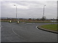
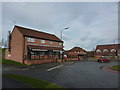
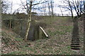
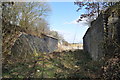
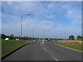
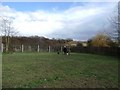
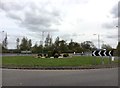
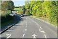
38 photos from this area
Area Information
Key information about the S44 5UN including its size, population, and administrative classification.
- Area Type
- Postcode
- Area Size
- 24.9 hectares
- Population
- 1636
- Population Density
- 112 people/km²
House Prices in S44 5UN
6
Properties
£532,500
Average Sold Price
£465,000
Lowest Price
£600,000
Highest Price
Showing 6 properties
| Address | Type | Beds | Baths | Last Sale Price | Last Sale Date | |
|---|---|---|---|---|---|---|
| Lodge Farm, Chesterfield Road, Calow, S44 5UN | storage_distribution | - | - | £600,000 | Mar 2025 | |
| Moortop Cottage, Chesterfield Road, Calow, S44 5UN | Detached | 4 | 3 | £465,000 | Dec 2017 | |
| STUD FARM, CHESTERFIELD ROAD, Calow, S44 5UN | Semi-detached | - | - | - | - | |
| Elliots Butchers, Stud Farm, Chesterfield Road, Calow, S44 5UN | Industrial | - | - | - | - | |
| Elliotts Butchers Farm Shop, Stud Farm, Chesterfield Road, Calow, S44 5UN | shop | - | - | - | - | |
| Hutchison S0051, Lodge Farm, Chesterfield Road, Calow, S44 5UN | Farm | - | - | - | - |
Energy Efficiency in S44 5UN
Amenities
Schools
| Rank | School | Type | Entry gender | Ages |
|---|
Explore more schools in this area
Go to Schools tabDemographics
Household Size
Two person
most common
Accommodation Type
Houses
most common
Tenure
73
majority
Ethnic Group
White
most common
Religion
N/A
most common
Household Composition
N/A
most common
Age
47
median
Adults (30-64 years)
most common
Household Deprivation
N/A
with no deprivation
NS-SEC
29
in Lower managerial occupations
Explore more demographic insights in this area
Go to Demographics tabPlanning
Planning Constraints
- Flood RiskPremium
- Ramsar Wetland SitesPremium
- Area of Outstanding Natural BeautyPremium
- Protected Nature ReservePremium
- Protected WoodlandPremium