Area Overview for S44 5TQ
Photos of S44 5TQ
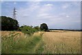
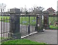
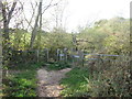
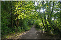
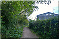
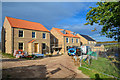
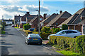
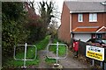
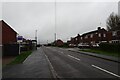
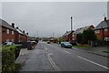
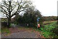
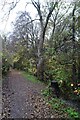
31 photos from this area
Area Information
Key information about the S44 5TQ including its size, population, and administrative classification.
- Area Type
- Postcode
- Area Size
- 2.6 hectares
- Population
- 1257
- Population Density
- 329 people/km²
House Prices in S44 5TQ
33
Properties
£191,508
Average Sold Price
£51,000
Lowest Price
£560,000
Highest Price
Showing 33 properties
| Address | Type | Beds | Baths | Last Sale Price | Last Sale Date | |
|---|---|---|---|---|---|---|
| 89 Blacksmith Lane, Calow, S44 5TQ | Bungalow | 2 | 1 | £295,000 | Jan 2025 | |
| 78 Blacksmith Lane, Calow, S44 5TQ | Semi-detached | 3 | 1 | £240,000 | Dec 2023 | |
| 87 Blacksmith Lane, Calow, S44 5TQ | Bungalow | 3 | 1 | £317,000 | Mar 2023 | |
| 90 Blacksmith Lane, Calow, S44 5TQ | house | 3 | 1 | £220,000 | Nov 2022 | |
| 77 Blacksmith Lane, Calow, S44 5TQ | Bungalow | 3 | 2 | £560,000 | Jun 2021 | |
| 93 Blacksmith Lane, Calow, S44 5TQ | Bungalow | 2 | - | £230,000 | May 2021 | |
| 71 Blacksmith Lane, Calow, S44 5TQ | Bungalow | 3 | 1 | £280,000 | Jun 2020 | |
| 68 Blacksmith Lane, Calow, S44 5TQ | Semi-detached | 3 | - | £150,000 | May 2018 | |
| 64 Blacksmith Lane, Calow, S44 5TQ | Semi-detached | 3 | 1 | £132,500 | May 2016 | |
| 73 Blacksmith Lane, Calow, S44 5TQ | Bungalow | 2 | - | £240,000 | May 2013 |
Page 1 of 4
Energy Efficiency in S44 5TQ
Amenities
Schools
| Rank | School | Type | Entry gender | Ages |
|---|
Explore more schools in this area
Go to Schools tabDemographics
Household Size
Two person
most common
Accommodation Type
Houses
most common
Tenure
84
majority
Ethnic Group
White
most common
Religion
N/A
most common
Household Composition
N/A
most common
Age
47
median
Adults (30-64 years)
most common
Household Deprivation
N/A
with no deprivation
NS-SEC
32
in Lower managerial occupations
Explore more demographic insights in this area
Go to Demographics tabPlanning
Planning Constraints
- Flood RiskPremium
- Ramsar Wetland SitesPremium
- Area of Outstanding Natural BeautyPremium
- Protected Nature ReservePremium
- Protected WoodlandPremium