Area Overview for S44 5HT
Photos of S44 5HT
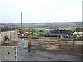
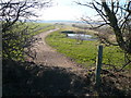


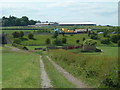
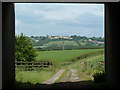
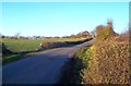

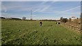
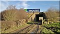
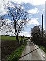
20 photos from this area
Area Information
Key information about the S44 5HT including its size, population, and administrative classification.
- Area Type
- Postcode
- Area Size
- 55.9 hectares
- Population
- 1636
- Population Density
- 112 people/km²
House Prices in S44 5HT
23
Properties
£221,143
Average Sold Price
£90,000
Lowest Price
£325,000
Highest Price
Showing 23 properties
| Address | Type | Beds | Baths | Last Sale Price | Last Sale Date | |
|---|---|---|---|---|---|---|
| Aingarth, Chesterfield Road, Duckmanton, S44 5HT | Semi-detached | 3 | 1 | £240,000 | Dec 2024 | |
| The Salient, Chesterfield Road, Duckmanton, S44 5HT | Detached | 3 | 2 | £325,000 | May 2022 | |
| Brinslea, Chesterfield Road, Duckmanton, S44 5HT | Detached | 3 | 3 | £220,000 | Sep 2020 | |
| Stonecroft, Chesterfield Road, Duckmanton, S44 5HT | Terraced | - | - | £90,000 | Oct 2019 | |
| Orchard View, Chesterfield Road, Duckmanton, S44 5HT | Bungalow | 3 | 1 | £265,000 | Oct 2018 | |
| Greenacres, Chesterfield Road, Duckmanton, S44 5HT | house | - | - | £280,000 | Nov 2015 | |
| Delverne, Chesterfield Road, Duckmanton, S44 5HT | Semi-detached | 3 | 1 | £128,000 | Apr 2008 | |
| Lyndene, Chesterfield Road, Duckmanton, S44 5HT | Bungalow | 2 | 1 | - | - | |
| Moneek, Chesterfield Road, Duckmanton, S44 5HT | undefined | - | - | - | - | |
| The Coach House, Hilltop Farm, Chesterfield Road, Duckmanton, S44 5HT | Farm | - | - | - | - |
Page 1 of 3
Energy Efficiency in S44 5HT
Amenities
Schools
| Rank | School | Type | Entry gender | Ages |
|---|
Explore more schools in this area
Go to Schools tabDemographics
Household Size
Two person
most common
Accommodation Type
Houses
most common
Tenure
73
majority
Ethnic Group
White
most common
Religion
N/A
most common
Household Composition
N/A
most common
Age
47
median
Adults (30-64 years)
most common
Household Deprivation
N/A
with no deprivation
NS-SEC
29
in Lower managerial occupations
Explore more demographic insights in this area
Go to Demographics tabPlanning
Planning Constraints
- Flood RiskPremium
- Ramsar Wetland SitesPremium
- Area of Outstanding Natural BeautyPremium
- Protected Nature ReservePremium
- Protected WoodlandPremium