Area Overview for S44 5ED
Photos of S44 5ED
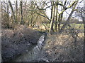
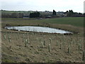
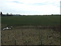
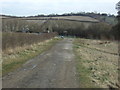

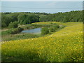
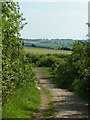
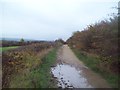
20 photos from this area
Area Information
Key information about the S44 5ED including its size, population, and administrative classification.
- Area Type
- Postcode
- Area Size
- 11.4 hectares
- Population
- 1400
- Population Density
- 397 people/km²
House Prices in S44 5ED
13
Properties
£157,488
Average Sold Price
£145,000
Lowest Price
£189,950
Highest Price
Showing 13 properties
| Address | Type | Beds | Baths | Last Sale Price | Last Sale Date | |
|---|---|---|---|---|---|---|
| Meadow Bank, Duckmanton Road, Duckmanton, S44 5ED | Bungalow | 2 | 1 | £150,000 | Jun 2024 | |
| Weyland, 10 Duckmanton Road, Duckmanton, S44 5ED | house | - | - | £189,950 | Nov 2021 | |
| Sunny Bank, Duckmanton Road, Duckmanton, S44 5ED | Bungalow | 2 | 1 | £145,000 | May 2017 | |
| Bank Lodge, Duckmanton Road, Duckmanton, S44 5ED | house | - | - | £145,000 | Apr 2009 | |
| Windy Ridge, Duckmanton Road, Duckmanton, S44 5ED | Detached | 3 | 3 | - | - | |
| Bank House, Duckmanton Road, Duckmanton, S44 5ED | Detached | 3 | 1 | - | - | |
| 6 Rectory Road, Duckmanton, Chesterfield, S44 5ED | undefined | - | - | - | - | |
| 2 Duckmanton Road, Duckmanton, S44 5ED | house | - | - | - | - | |
| 3, Duckmanton Villas, Duckmanton Road, Duckmanton, S44 5ED | Flat | - | - | - | - | |
| 2, Duckmanton Villas, Duckmanton Road, Duckmanton, S44 5ED | Flat | - | - | - | - |
Page 1 of 2
Energy Efficiency in S44 5ED
Amenities
Schools
| Rank | School | Type | Entry gender | Ages |
|---|
Explore more schools in this area
Go to Schools tabDemographics
Household Size
Family (3-5 people)
most common
Accommodation Type
Houses
most common
Tenure
58
majority
Ethnic Group
White
most common
Religion
N/A
most common
Household Composition
N/A
most common
Age
47
median
Adults (30-64 years)
most common
Household Deprivation
N/A
with no deprivation
NS-SEC
19
in Lower managerial occupations
Explore more demographic insights in this area
Go to Demographics tabPlanning
Planning Constraints
- Flood RiskPremium
- Ramsar Wetland SitesPremium
- Area of Outstanding Natural BeautyPremium
- Protected Nature ReservePremium
- Protected WoodlandPremium