Area Overview for S43 4QF
Photos of S43 4QF
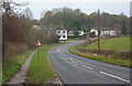
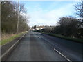
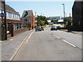
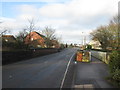
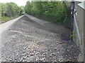
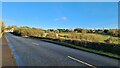
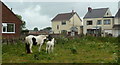
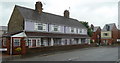
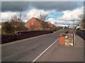
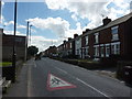
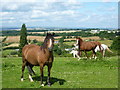
16 photos from this area
Area Information
Key information about the S43 4QF including its size, population, and administrative classification.
- Area Type
- Postcode
- Area Size
- 5.2 hectares
- Population
- 2350
- Population Density
- 919 people/km²
House Prices in S43 4QF
28
Properties
£176,360
Average Sold Price
£25,000
Lowest Price
£365,000
Highest Price
Showing 28 properties
| Address | Type | Beds | Baths | Last Sale Price | Last Sale Date | |
|---|---|---|---|---|---|---|
| 74 Boughton Lane, Clowne, S43 4QF | Semi-detached | 2 | 1 | £189,950 | Sep 2025 | |
| 76 Boughton Lane, Clowne, S43 4QF | Semi-detached | 3 | 1 | £195,000 | Nov 2021 | |
| 86 Boughton Lane, Clowne, S43 4QF | Bungalow | - | - | £326,000 | Sep 2021 | |
| 116 Boughton Lane, Clowne, S43 4QF | Bungalow | - | - | £365,000 | Sep 2021 | |
| 104 Boughton Lane, Clowne, S43 4QF | Detached | 4 | 3 | £305,000 | Nov 2020 | |
| 92 Boughton Lane, Clowne, S43 4QF | house | - | - | £105,000 | Aug 2019 | |
| 80 Boughton Lane, Clowne, S43 4QF | Semi-detached | 2 | 1 | £125,000 | Jul 2019 | |
| 112 Boughton Lane, Clowne, S43 4QF | Detached | 3 | 1 | £272,000 | Sep 2018 | |
| 88 Boughton Lane, Clowne, S43 4QF | Bungalow | - | - | £181,500 | Apr 2014 | |
| 114 Boughton Lane, Clowne, S43 4QF | Bungalow | - | - | £249,500 | Aug 2007 |
Page 1 of 3
Energy Efficiency in S43 4QF
Amenities
Schools
| Rank | School | Type | Entry gender | Ages |
|---|
Explore more schools in this area
Go to Schools tabDemographics
Household Size
Two person
most common
Accommodation Type
Houses
most common
Tenure
71
majority
Ethnic Group
White
most common
Religion
N/A
most common
Household Composition
N/A
most common
Age
47
median
Adults (30-64 years)
most common
Household Deprivation
N/A
with no deprivation
NS-SEC
28
in Lower managerial occupations
Explore more demographic insights in this area
Go to Demographics tabPlanning
Planning Constraints
- Flood RiskPremium
- Ramsar Wetland SitesPremium
- Area of Outstanding Natural BeautyPremium
- Protected Nature ReservePremium
- Protected WoodlandPremium