Area Overview for S43 4DE
Photos of S43 4DE
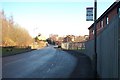
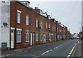

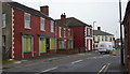

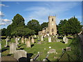
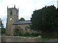

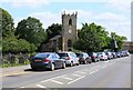
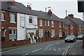
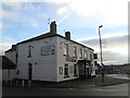
47 photos from this area
Area Information
Key information about the S43 4DE including its size, population, and administrative classification.
- Area Type
- Postcode
- Area Size
- 2.7 hectares
- Population
- Not available
- Population Density
- Not available
House Prices in S43 4DE
49
Properties
£122,246
Average Sold Price
£82,000
Lowest Price
£185,000
Highest Price
Showing 49 properties
| Address | Type | Beds | Baths | Last Sale Price | Last Sale Date | |
|---|---|---|---|---|---|---|
| 27 Damsbrook Drive, Clowne, S43 4DE | Bungalow | 2 | 1 | £185,000 | Jun 2025 | |
| 6 Damsbrook Drive, Clowne, S43 4DE | Semi-detached | 3 | 2 | £159,950 | Jan 2024 | |
| 19 Damsbrook Drive, Clowne, S43 4DE | house | - | - | £128,000 | Oct 2020 | |
| 47 Damsbrook Drive, Clowne, S43 4DE | Bungalow | 2 | 1 | £120,000 | Feb 2020 | |
| 13 Damsbrook Drive, Clowne, S43 4DE | Semi-detached | 3 | - | £125,000 | Mar 2017 | |
| 12 Damsbrook Drive, Clowne, S43 4DE | Semi-detached | 2 | 1 | £112,000 | Nov 2016 | |
| 3 Damsbrook Drive, Clowne, S43 4DE | Semi-detached | 3 | 2 | £125,000 | Jan 2015 | |
| 4 Damsbrook Drive, Clowne, S43 4DE | Semi-detached | 3 | 1 | £106,000 | May 2014 | |
| 29 Damsbrook Drive, Clowne, S43 4DE | Bungalow | - | - | £115,000 | Jul 2010 | |
| 22 Damsbrook Drive, Clowne, S43 4DE | Bungalow | 2 | 1 | £104,000 | Oct 2009 |
Page 1 of 5
Energy Efficiency in S43 4DE
Amenities
Schools
| Rank | School | Type | Entry gender | Ages |
|---|
Explore more schools in this area
Go to Schools tabDemographics
Household Size
Two person
most common
Accommodation Type
Houses
most common
Tenure
68
majority
Ethnic Group
White
most common
Religion
N/A
most common
Household Composition
N/A
most common
Age
47
median
Adults (30-64 years)
most common
Household Deprivation
N/A
with no deprivation
NS-SEC
28
in Lower managerial occupations
Explore more demographic insights in this area
Go to Demographics tabPlanning
Planning Constraints
- Flood RiskPremium
- Ramsar Wetland SitesPremium
- Area of Outstanding Natural BeautyPremium
- Protected Nature ReservePremium
- Protected WoodlandPremium