Area Overview for S43 4BP
Photos of S43 4BP
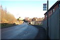
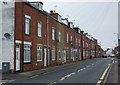
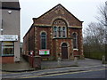
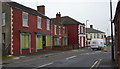
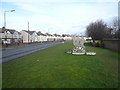
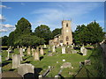
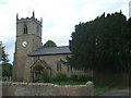
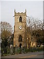
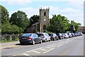
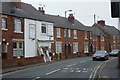
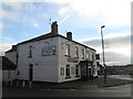
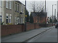
47 photos from this area
Area Information
Key information about the S43 4BP including its size, population, and administrative classification.
- Area Type
- Postcode
- Area Size
- 1.4 hectares
- Population
- Not available
- Population Density
- Not available
House Prices in S43 4BP
19
Properties
£168,579
Average Sold Price
£27,000
Lowest Price
£305,000
Highest Price
Showing 19 properties
| Address | Type | Beds | Baths | Last Sale Price | Last Sale Date | |
|---|---|---|---|---|---|---|
| 16 Rood Lane, Clowne, S43 4BP | Retail | 4 | 1 | £305,000 | Apr 2022 | |
| 20 Rood Lane, Clowne, S43 4BP | Bungalow | - | - | £305,000 | Nov 2021 | |
| 8 Rood Lane, Clowne, S43 4BP | Bungalow | - | - | £230,000 | Sep 2021 | |
| 48 Rood Lane, Clowne, S43 4BP | Detached | - | - | £285,000 | Sep 2012 | |
| 47 Rood Lane, Clowne, S43 4BP | house | - | - | £145,000 | Jul 2012 | |
| 14 Rood Lane, Clowne, S43 4BP | Bungalow | - | - | £140,000 | Apr 2011 | |
| 6 Rood Lane, Clowne, S43 4BP | house | - | - | £132,500 | Feb 2009 | |
| 18 Rood Lane, Clowne, S43 4BP | Semi-detached | - | - | £162,450 | Aug 2005 | |
| 54 Rood Lane, Clowne, S43 4BP | house | - | - | £175,000 | May 2003 | |
| The Hawthornes, Rood Lane, Clowne, S43 4BP | Detached | 2 | 1 | £66,000 | Aug 2001 |
Page 1 of 2
Energy Efficiency in S43 4BP
Amenities
Schools
| Rank | School | Type | Entry gender | Ages |
|---|
Explore more schools in this area
Go to Schools tabDemographics
Household Size
Two person
most common
Accommodation Type
Houses
most common
Tenure
68
majority
Ethnic Group
White
most common
Religion
N/A
most common
Household Composition
N/A
most common
Age
47
median
Adults (30-64 years)
most common
Household Deprivation
N/A
with no deprivation
NS-SEC
28
in Lower managerial occupations
Explore more demographic insights in this area
Go to Demographics tabPlanning
Planning Constraints
- Flood RiskPremium
- Ramsar Wetland SitesPremium
- Area of Outstanding Natural BeautyPremium
- Protected Nature ReservePremium
- Protected WoodlandPremium