Area Overview for S43 4AX
Photos of S43 4AX
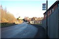
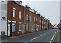
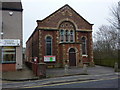
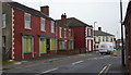
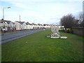
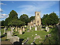
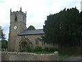
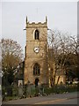
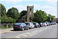
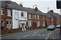
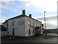
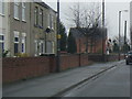
47 photos from this area
Area Information
Key information about the S43 4AX including its size, population, and administrative classification.
- Area Type
- Postcode
- Area Size
- 10.1 hectares
- Population
- 1497
- Population Density
- 2704 people/km²
House Prices in S43 4AX
10
Properties
£144,400
Average Sold Price
£40,000
Lowest Price
£315,000
Highest Price
Showing 10 properties
| Address | Type | Beds | Baths | Last Sale Price | Last Sale Date | |
|---|---|---|---|---|---|---|
| 33 Hollin Hill Road, Clowne, S43 4AX | Detached | 2 | 1 | £105,000 | Mar 2024 | |
| 23 Hollin Hill Road, Clowne, S43 4AX | Cottage | 2 | 1 | £135,000 | Oct 2023 | |
| The Old Pump House, Hollin Hill Road, Clowne, S43 4AX | Bungalow | - | - | £315,000 | Feb 2021 | |
| 15-17 Hollin Hill Road, Clowne, S43 4AX | house | - | - | £127,000 | Jan 2015 | |
| 29-31 Hollin Hill Road, Clowne, S43 4AX | Terraced | - | - | £40,000 | Mar 1998 | |
| 35 Hollin Hill Road, Clowne, S43 4AX | house | 3 | 1 | - | - | |
| 17 Hollin Hill Road, Clowne, S43 4AX | Semi-detached | - | - | - | - | |
| 11 Hollin Hill Road, Clowne, S43 4AX | Detached | - | - | - | - | |
| 19 Hollin Hill Road, Clowne, S43 4AX | Detached | - | - | - | - | |
| 25-27 Hollin Hill Road, Clowne, S43 4AX | house | - | - | - | - |
Energy Efficiency in S43 4AX
Amenities
Schools
| Rank | School | Type | Entry gender | Ages |
|---|
Explore more schools in this area
Go to Schools tabDemographics
Household Size
Two person
most common
Accommodation Type
Houses
most common
Tenure
85
majority
Ethnic Group
White
most common
Religion
N/A
most common
Household Composition
N/A
most common
Age
47
median
Adults (30-64 years)
most common
Household Deprivation
N/A
with no deprivation
NS-SEC
28
in Lower managerial occupations
Explore more demographic insights in this area
Go to Demographics tabPlanning
Planning Constraints
- Flood RiskPremium
- Ramsar Wetland SitesPremium
- Area of Outstanding Natural BeautyPremium
- Protected Nature ReservePremium
- Protected WoodlandPremium