Area Overview for S43 2AW
Photos of S43 2AW
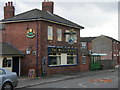
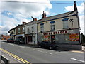
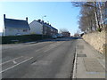
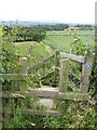
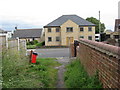
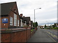
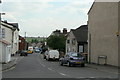
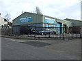
43 photos from this area
Area Information
Key information about the S43 2AW including its size, population, and administrative classification.
- Area Type
- Postcode
- Area Size
- 1542 m²
- Population
- 1394
- Population Density
- 179 people/km²
House Prices in S43 2AW
10
Properties
£80,490
Average Sold Price
£28,500
Lowest Price
£112,000
Highest Price
Showing 10 properties
| Address | Type | Beds | Baths | Last Sale Price | Last Sale Date | |
|---|---|---|---|---|---|---|
| 188 High Street, New Whittington, S43 2AW | Terraced | 3 | 1 | £112,000 | Jun 2023 | |
| 196 High Street, New Whittington, S43 2AW | Terraced | 2 | 1 | £105,000 | Jul 2014 | |
| 190 High Street, New Whittington, S43 2AW | house | 2 | - | £77,000 | Oct 2013 | |
| 194 High Street, New Whittington, S43 2AW | Terraced | 3 | 1 | £79,950 | Sep 2005 | |
| 186 High Street, New Whittington, S43 2AW | Terraced | - | - | £28,500 | Jan 1995 | |
| 182 High Street, New Whittington, S43 2AW | Bungalow | - | - | - | - | |
| 184 High Street, New Whittington, S43 2AW | Bungalow | - | - | - | - | |
| 192 High Street, New Whittington, S43 2AW | Terraced | - | - | - | - | |
| 178 High Street, New Whittington, S43 2AW | Bungalow | - | - | - | - | |
| 180 High Street, New Whittington, S43 2AW | Bungalow | - | - | - | - |
Energy Efficiency in S43 2AW
Amenities
Schools
| Rank | School | Type | Entry gender | Ages |
|---|
Explore more schools in this area
Go to Schools tabDemographics
Household Size
One person
most common
Accommodation Type
Houses
most common
Tenure
42
majority
Ethnic Group
White
most common
Religion
N/A
most common
Household Composition
N/A
most common
Age
47
median
Adults (30-64 years)
most common
Household Deprivation
N/A
with no deprivation
NS-SEC
19
in Lower managerial occupations
Explore more demographic insights in this area
Go to Demographics tabPlanning
Planning Constraints
- Flood RiskPremium
- Ramsar Wetland SitesPremium
- Area of Outstanding Natural BeautyPremium
- Protected Nature ReservePremium
- Protected WoodlandPremium