Area Overview for S42 7NT
Photos of S42 7NT
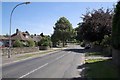
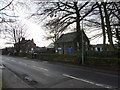
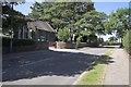
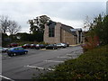
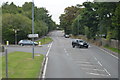
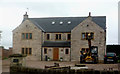
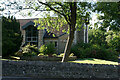
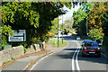
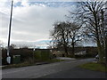
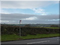
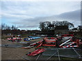
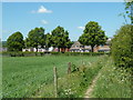
24 photos from this area
Area Information
Key information about the S42 7NT including its size, population, and administrative classification.
- Area Type
- Postcode
- Area Size
- 5860 m²
- Population
- 1386
- Population Density
- 2676 people/km²
House Prices in S42 7NT
15
Properties
£184,640
Average Sold Price
£89,000
Lowest Price
£310,000
Highest Price
Showing 15 properties
| Address | Type | Beds | Baths | Last Sale Price | Last Sale Date | |
|---|---|---|---|---|---|---|
| 2 Stanwood Drive, Walton, S42 7NT | Detached | 3 | - | £310,000 | Jul 2022 | |
| 11 Stanwood Drive, Walton, S42 7NT | Detached | 3 | 2 | £287,500 | Mar 2022 | |
| 4 Stanwood Drive, Walton, S42 7NT | Detached | 3 | 1 | £230,000 | Jul 2014 | |
| 21 Stanwood Drive, Walton, S42 7NT | house | - | - | £220,000 | Dec 2009 | |
| 23 Stanwood Drive, Walton, S42 7NT | Detached | - | - | £215,000 | Mar 2007 | |
| 9 Stanwood Drive, Walton, S42 7NT | Detached | - | - | £131,950 | Apr 2003 | |
| 19 Stanwood Drive, Walton, S42 7NT | Detached | - | - | £147,000 | Oct 2002 | |
| 3 Stanwood Drive, Walton, S42 7NT | Detached | - | - | £124,950 | Aug 2001 | |
| 5 Stanwood Drive, Walton, S42 7NT | Detached | - | - | £89,000 | Mar 2000 | |
| 1 Stanwood Drive, Walton, S42 7NT | Detached | - | - | £91,000 | May 1997 |
Page 1 of 2
Energy Efficiency in S42 7NT
Amenities
Schools
| Rank | School | Type | Entry gender | Ages |
|---|
Explore more schools in this area
Go to Schools tabDemographics
Household Size
Two person
most common
Accommodation Type
Houses
most common
Tenure
85
majority
Ethnic Group
White
most common
Religion
N/A
most common
Household Composition
N/A
most common
Age
47
median
Adults (30-64 years)
most common
Household Deprivation
N/A
with no deprivation
NS-SEC
47
in Lower managerial occupations
Explore more demographic insights in this area
Go to Demographics tabPlanning
Planning Constraints
- Flood RiskPremium
- Ramsar Wetland SitesPremium
- Area of Outstanding Natural BeautyPremium
- Protected Nature ReservePremium
- Protected WoodlandPremium