Area Overview for S42 7LF
Photos of S42 7LF
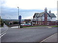
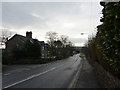
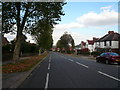
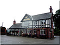
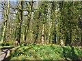
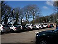
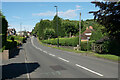
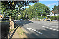
27 photos from this area
Area Information
Key information about the S42 7LF including its size, population, and administrative classification.
- Area Type
- Postcode
- Area Size
- 1.8 hectares
- Population
- 1507
- Population Density
- 99 people/km²
House Prices in S42 7LF
29
Properties
£251,264
Average Sold Price
£80,000
Lowest Price
£499,999
Highest Price
Showing 29 properties
| Address | Type | Beds | Baths | Last Sale Price | Last Sale Date | |
|---|---|---|---|---|---|---|
| 18 Lodge Farm Close, Walton, S42 7LF | house | 4 | 2 | £499,999 | Jan 2024 | |
| 21 Lodge Farm Close, Walton, S42 7LF | house | 3 | 2 | £325,000 | Sep 2022 | |
| 23 Lodge Farm Close, Walton, S42 7LF | Detached | 5 | 3 | £440,000 | Apr 2021 | |
| 25 Lodge Farm Close, Walton, S42 7LF | Detached | 4 | 2 | £375,000 | Nov 2018 | |
| 19 Lodge Farm Close, Walton, S42 7LF | Detached | 4 | - | £324,500 | May 2015 | |
| 27 Lodge Farm Close, Walton, S42 7LF | Detached | - | - | £306,000 | Sep 2007 | |
| 16 Lodge Farm Close, Walton, S42 7LF | Detached | - | - | £355,000 | Aug 2007 | |
| 17 Lodge Farm Close, Walton, S42 7LF | Detached | - | - | £208,000 | Jul 2006 | |
| 12 Lodge Farm Close, Walton, S42 7LF | Detached | 4 | 2 | £288,000 | May 2005 | |
| 26 Lodge Farm Close, Walton, S42 7LF | Detached | - | - | £285,000 | Dec 2004 |
Page 1 of 3
Energy Efficiency in S42 7LF
Amenities
Schools
| Rank | School | Type | Entry gender | Ages |
|---|
Explore more schools in this area
Go to Schools tabDemographics
Household Size
Two person
most common
Accommodation Type
Houses
most common
Tenure
89
majority
Ethnic Group
White
most common
Religion
N/A
most common
Household Composition
N/A
most common
Age
47
median
Adults (30-64 years)
most common
Household Deprivation
N/A
with no deprivation
NS-SEC
51
in Lower managerial occupations
Explore more demographic insights in this area
Go to Demographics tabPlanning
Planning Constraints
- Flood RiskPremium
- Ramsar Wetland SitesPremium
- Area of Outstanding Natural BeautyPremium
- Protected Nature ReservePremium
- Protected WoodlandPremium