Area Overview for S42 7JY
Photos of S42 7JY
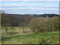
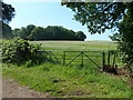
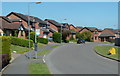
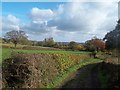
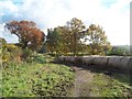
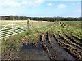
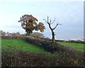
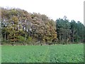
19 photos from this area
Area Information
Key information about the S42 7JY including its size, population, and administrative classification.
- Area Type
- Postcode
- Area Size
- 2.4 hectares
- Population
- 1069
- Population Density
- 2280 people/km²
House Prices in S42 7JY
48
Properties
£204,766
Average Sold Price
£58,500
Lowest Price
£375,000
Highest Price
Showing 48 properties
| Address | Type | Beds | Baths | Last Sale Price | Last Sale Date | |
|---|---|---|---|---|---|---|
| 30 The Meadows, Holme Hall, Chesterfield, S42 7JY | Detached | 4 | 3 | £375,000 | Oct 2025 | |
| 11 The Meadows, Holme Hall, Chesterfield, S42 7JY | Detached | 4 | 1 | £320,000 | Mar 2025 | |
| 38 The Meadows, Holme Hall, Chesterfield, S42 7JY | Detached | 4 | 2 | £332,000 | Feb 2025 | |
| 10 The Meadows, Holme Hall, Chesterfield, S42 7JY | Detached | 3 | 1 | £219,950 | Jan 2025 | |
| 48 The Meadows, Holme Hall, Chesterfield, S42 7JY | Detached | 4 | 1 | £320,000 | Sep 2024 | |
| 21 The Meadows, Holme Hall, Chesterfield, S42 7JY | Detached | 4 | 4 | £330,000 | May 2024 | |
| 29 The Meadows, Holme Hall, Chesterfield, S42 7JY | Detached | 4 | - | £365,000 | Sep 2022 | |
| 32 The Meadows, Holme Hall, Chesterfield, S42 7JY | house | - | - | £197,000 | Mar 2021 | |
| 39 The Meadows, Holme Hall, Chesterfield, S42 7JY | Bungalow | 3 | 1 | £210,000 | Oct 2020 | |
| 28 The Meadows, Holme Hall, Chesterfield, S42 7JY | Detached | 3 | 1 | £200,000 | Dec 2019 |
Page 1 of 5
Energy Efficiency in S42 7JY
Amenities
Schools
| Rank | School | Type | Entry gender | Ages |
|---|
Explore more schools in this area
Go to Schools tabDemographics
Household Size
Two person
most common
Accommodation Type
Houses
most common
Tenure
89
majority
Ethnic Group
White
most common
Religion
N/A
most common
Household Composition
N/A
most common
Age
47
median
Adults (30-64 years)
most common
Household Deprivation
N/A
with no deprivation
NS-SEC
43
in Lower managerial occupations
Explore more demographic insights in this area
Go to Demographics tabPlanning
Planning Constraints
- Flood RiskPremium
- Ramsar Wetland SitesPremium
- Area of Outstanding Natural BeautyPremium
- Protected Nature ReservePremium
- Protected WoodlandPremium