Area Overview for S42 7HW
Photos of S42 7HW
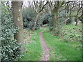
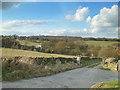
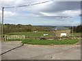
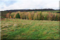

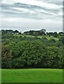
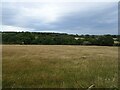
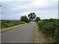
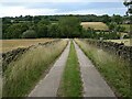
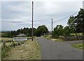

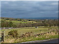
21 photos from this area
Area Information
Key information about the S42 7HW including its size, population, and administrative classification.
- Area Type
- Postcode
- Area Size
- 1.6 km²
- Population
- 1507
- Population Density
- 99 people/km²
House Prices in S42 7HW
28
Properties
£565,938
Average Sold Price
£39,500
Lowest Price
£1,380,000
Highest Price
Showing 28 properties
| Address | Type | Beds | Baths | Last Sale Price | Last Sale Date | |
|---|---|---|---|---|---|---|
| 105 Loads Road, Holymoorside, S42 7HW | Terraced | 2 | 1 | £202,000 | Feb 2025 | |
| 93 Loads Road, Holymoorside, S42 7HW | Terraced | 2 | - | £237,000 | Aug 2023 | |
| Longside House, Longside Road, Holymoorside, S42 7HW | house | - | - | £1,350,000 | Oct 2022 | |
| Stone Croft, Loads Road, Holymoorside, S42 7HW | house | - | - | £650,000 | Sep 2021 | |
| SPRINGWELL FARM, LOADS ROAD, Holymoorside, S42 7HW | Detached | - | - | £1,380,000 | Jun 2021 | |
| Springwell Bungalow, Loads Road, Holymoorside, S42 7HW | Detached | - | - | £1,380,000 | Jun 2021 | |
| 97 LOADS ROAD, Holymoorside, S42 7HW | Terraced | 2 | - | £145,000 | Aug 2020 | |
| 101 Loads Road, Holymoorside, S42 7HW | Terraced | 2 | 1 | £110,000 | Aug 2017 | |
| Home View, Loads Road, Holymoorside, S42 7HW | Bungalow | 4 | 4 | £810,000 | Sep 2015 | |
| Star Cottage, Loads Road, Holymoorside, S42 7HW | house | - | - | £362,750 | Jan 2015 |
Page 1 of 3
Energy Efficiency in S42 7HW
Amenities
Schools
| Rank | School | Type | Entry gender | Ages |
|---|
Explore more schools in this area
Go to Schools tabDemographics
Household Size
Two person
most common
Accommodation Type
Houses
most common
Tenure
89
majority
Ethnic Group
White
most common
Religion
N/A
most common
Household Composition
N/A
most common
Age
47
median
Adults (30-64 years)
most common
Household Deprivation
N/A
with no deprivation
NS-SEC
51
in Lower managerial occupations
Explore more demographic insights in this area
Go to Demographics tabPlanning
Planning Constraints
- Flood RiskPremium
- Ramsar Wetland SitesPremium
- Area of Outstanding Natural BeautyPremium
- Protected Nature ReservePremium
- Protected WoodlandPremium