Area Overview for S42 5TG
Photos of S42 5TG

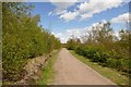
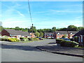
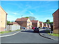
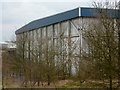
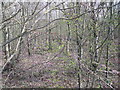
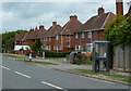
19 photos from this area
Area Information
Key information about the S42 5TG including its size, population, and administrative classification.
- Area Type
- Postcode
- Area Size
- 4338 m²
- Population
- 2397
- Population Density
- 322 people/km²
House Prices in S42 5TG
10
Properties
£127,917
Average Sold Price
£95,500
Lowest Price
£165,000
Highest Price
Showing 10 properties
| Address | Type | Beds | Baths | Last Sale Price | Last Sale Date | |
|---|---|---|---|---|---|---|
| 118 Chesterfield Road, Holmewood, S42 5TG | Semi-detached | 3 | 1 | £162,500 | Aug 2025 | |
| 114 Chesterfield Road, Holmewood, S42 5TG | house | 4 | - | £165,000 | Mar 2021 | |
| 122 Chesterfield Road, Holmewood, S42 5TG | Semi-detached | 3 | 1 | £117,500 | Jun 2016 | |
| 116 Chesterfield Road, Holmewood, S42 5TG | Detached | 3 | 1 | £102,000 | Oct 2007 | |
| 124 Chesterfield Road, Holmewood, S42 5TG | house | - | - | £125,000 | May 2007 | |
| 108 Chesterfield Road, Holmewood, S42 5TG | Semi-detached | 3 | 2 | £95,500 | Jul 2005 | |
| 106 Chesterfield Road, Holmewood, S42 5TG | Semi-detached | 3 | 1 | - | - | |
| 120 Chesterfield Road, Holmewood, S42 5TG | house | - | - | - | - | |
| 112 Chesterfield Road, Holmewood, S42 5TG | Semi-detached | - | - | - | - | |
| 110 Chesterfield Road, Holmewood, S42 5TG | house | - | - | - | - |
Energy Efficiency in S42 5TG
Amenities
Schools
| Rank | School | Type | Entry gender | Ages |
|---|
Explore more schools in this area
Go to Schools tabDemographics
Household Size
One person
most common
Accommodation Type
Houses
most common
Tenure
47
majority
Ethnic Group
White
most common
Religion
N/A
most common
Household Composition
N/A
most common
Age
47
median
Adults (30-64 years)
most common
Household Deprivation
N/A
with no deprivation
NS-SEC
25
in Lower managerial occupations
Explore more demographic insights in this area
Go to Demographics tabPlanning
Planning Constraints
- Flood RiskPremium
- Ramsar Wetland SitesPremium
- Area of Outstanding Natural BeautyPremium
- Protected Nature ReservePremium
- Protected WoodlandPremium