Area Overview for S41 9RW
Photos of S41 9RW
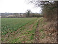
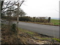
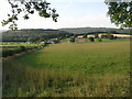
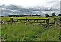
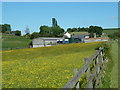
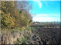
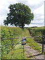
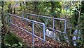
16 photos from this area
Area Information
Key information about the S41 9RW including its size, population, and administrative classification.
- Area Type
- Postcode
- Area Size
- 34.7 hectares
- Population
- 1859
- Population Density
- 799 people/km²
House Prices in S41 9RW
16
Properties
£581,400
Average Sold Price
£205,000
Lowest Price
£1,650,000
Highest Price
Showing 16 properties
| Address | Type | Beds | Baths | Last Sale Price | Last Sale Date | |
|---|---|---|---|---|---|---|
| 1 Dunston Road, Cutthorpe, S41 9RW | house | - | - | £1,650,000 | Aug 2021 | |
| Newbold Fields Cottage, 30 Dunston Road, Chesterfield, S41 9RW | Detached | 3 | 2 | £560,000 | Oct 2015 | |
| 18 Dunston Road, Cutthorpe, S41 9RW | Detached | - | - | £245,000 | Jul 2012 | |
| 16 Dunston Road, Cutthorpe, S41 9RW | Detached | - | - | £205,000 | Nov 2005 | |
| Cassillis, 3 Dunston Road, Cutthorpe, S41 9RW | Detached | - | - | £247,000 | May 2002 | |
| 10 Dunston Road, Cutthorpe, S41 9RW | Detached | 2 | 1 | - | - | |
| 14 Dunston Road, Cutthorpe, S41 9RW | Detached | 3 | 1 | - | - | |
| 20 Dunston Road, Cutthorpe, S41 9RW | Detached | 3 | 2 | - | - | |
| Newbold Fields Barn, Dunston Road, Chesterfield, S41 9RW | Cottage | 3 | 1 | - | - | |
| Newbold Fields House, Dunston Road, Chesterfield, S41 9RW | Detached | 3 | 2 | - | - |
Page 1 of 2
Energy Efficiency in S41 9RW
Amenities
Schools
| Rank | School | Type | Entry gender | Ages |
|---|
Explore more schools in this area
Go to Schools tabDemographics
Household Size
One person
most common
Accommodation Type
Houses
most common
Tenure
49
majority
Ethnic Group
White
most common
Religion
N/A
most common
Household Composition
N/A
most common
Age
47
median
Adults (30-64 years)
most common
Household Deprivation
N/A
with no deprivation
NS-SEC
24
in Lower managerial occupations
Explore more demographic insights in this area
Go to Demographics tabPlanning
Planning Constraints
- Flood RiskPremium
- Ramsar Wetland SitesPremium
- Area of Outstanding Natural BeautyPremium
- Protected Nature ReservePremium
- Protected WoodlandPremium