Area Overview for S41 9HX
Photos of S41 9HX
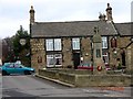
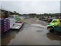
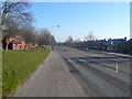
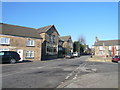
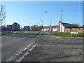
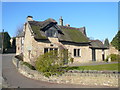
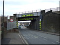

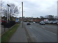
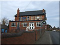
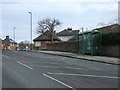
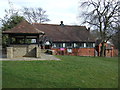
53 photos from this area
Area Information
Key information about the S41 9HX including its size, population, and administrative classification.
- Area Type
- Postcode
- Area Size
- 7038 m²
- Population
- 1293
- Population Density
- 1052 people/km²
House Prices in S41 9HX
16
Properties
£135,079
Average Sold Price
£49,000
Lowest Price
£227,500
Highest Price
Showing 16 properties
| Address | Type | Beds | Baths | Last Sale Price | Last Sale Date | |
|---|---|---|---|---|---|---|
| 17 Layton Drive, Old Whittington, S41 9HX | Detached | - | - | £155,000 | Feb 2024 | |
| 6 Layton Drive, Old Whittington, S41 9HX | Detached | 3 | 1 | £196,000 | Sep 2021 | |
| 4 Layton Drive, Old Whittington, S41 9HX | Detached | 4 | 2 | £227,500 | Jun 2019 | |
| 3 Layton Drive, Old Whittington, S41 9HX | Bungalow | 2 | - | £138,000 | Oct 2014 | |
| 12 Layton Drive, Old Whittington, S41 9HX | Detached | 3 | 1 | £151,500 | Feb 2014 | |
| 8 Layton Drive, Old Whittington, S41 9HX | Detached | - | - | £150,000 | Mar 2010 | |
| 10 Layton Drive, Old Whittington, S41 9HX | Detached | 3 | 1 | £130,000 | Apr 2006 | |
| 2 Layton Drive, Old Whittington, S41 9HX | Detached | 3 | 2 | £155,000 | Aug 2005 | |
| 15 Layton Drive, Old Whittington, S41 9HX | Detached | - | - | £123,000 | May 2005 | |
| 11 Layton Drive, Old Whittington, S41 9HX | house | - | - | £86,950 | Jan 2003 |
Page 1 of 2
Energy Efficiency in S41 9HX
Amenities
Schools
| Rank | School | Type | Entry gender | Ages |
|---|
Explore more schools in this area
Go to Schools tabDemographics
Household Size
One person
most common
Accommodation Type
Houses
most common
Tenure
65
majority
Ethnic Group
White
most common
Religion
N/A
most common
Household Composition
N/A
most common
Age
47
median
Adults (30-64 years)
most common
Household Deprivation
N/A
with no deprivation
NS-SEC
23
in Lower managerial occupations
Explore more demographic insights in this area
Go to Demographics tabPlanning
Planning Constraints
- Flood RiskPremium
- Ramsar Wetland SitesPremium
- Area of Outstanding Natural BeautyPremium
- Protected Nature ReservePremium
- Protected WoodlandPremium