Area Overview for S41 0EQ
Photos of S41 0EQ
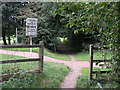
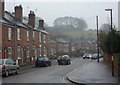
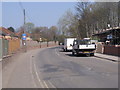
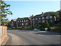
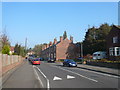
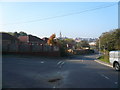
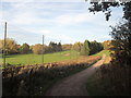

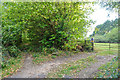
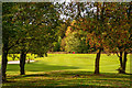
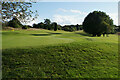
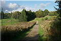
40 photos from this area
Area Information
Key information about the S41 0EQ including its size, population, and administrative classification.
- Area Type
- Postcode
- Area Size
- 60.8 hectares
- Population
- 1328
- Population Density
- 667 people/km²
House Prices in S41 0EQ
10
Properties
£160,483
Average Sold Price
£124,950
Lowest Price
£196,500
Highest Price
Showing 10 properties
| Address | Type | Beds | Baths | Last Sale Price | Last Sale Date | |
|---|---|---|---|---|---|---|
| 1 Crow Lane, Chesterfield, S41 0EQ | Bungalow | 2 | - | £196,500 | Oct 2022 | |
| 2 Crow Lane, Chesterfield, S41 0EQ | Semi-detached | 2 | 1 | £160,000 | Mar 2018 | |
| 4 Crow Lane, Chesterfield, S41 0EQ | Bungalow | - | - | £124,950 | Dec 2006 | |
| 3 Crow Lane, Chesterfield, S41 0EQ | Detached | 3 | 2 | - | - | |
| Chesterfield Riding Centre, Dobbin Clough Farm, Crow Lane, Chesterfield, S41 0EQ | house | - | - | - | - | |
| Tapton Grange, Unnamed Road From Balmoak Lane To Manor And Tapton Cottages, Chesterfield, S41 0EQ | Detached | - | - | - | - | |
| Dobbin Clough Farm, Crow Lane, Chesterfield, S41 0EQ | Detached | - | - | - | - | |
| The Lodge, Tapton Golf Club, Crow Lane, Chesterfield, S41 0EQ | Detached | - | - | - | - | |
| The Paddocks, Crow Lane, Chesterfield, S41 0EQ | house | - | - | - | - | |
| Murray House, Tapton Golf Club, Crow Lane, Chesterfield, S41 0EQ | Leisure | - | - | - | - |
Energy Efficiency in S41 0EQ
Amenities
Schools
| Rank | School | Type | Entry gender | Ages |
|---|
Explore more schools in this area
Go to Schools tabDemographics
Household Size
Two person
most common
Accommodation Type
Houses
most common
Tenure
89
majority
Ethnic Group
White
most common
Religion
N/A
most common
Household Composition
N/A
most common
Age
47
median
Adults (30-64 years)
most common
Household Deprivation
N/A
with no deprivation
NS-SEC
39
in Lower managerial occupations
Explore more demographic insights in this area
Go to Demographics tabPlanning
Planning Constraints
- Flood RiskPremium
- Ramsar Wetland SitesPremium
- Area of Outstanding Natural BeautyPremium
- Protected Nature ReservePremium
- Protected WoodlandPremium