Area Overview for S40 4SD
Photos of S40 4SD

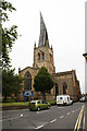
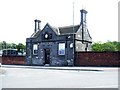
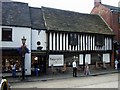
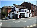
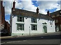
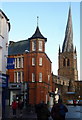
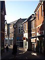
100 photos from this area
Area Information
Key information about the S40 4SD including its size, population, and administrative classification.
- Area Type
- Postcode
- Area Size
- 1.5 hectares
- Population
- 1982
- Population Density
- 4786 people/km²
House Prices in S40 4SD
54
Properties
£107,136
Average Sold Price
£21,500
Lowest Price
£314,995
Highest Price
Showing 54 properties
| Address | Type | Beds | Baths | Last Sale Price | Last Sale Date | |
|---|---|---|---|---|---|---|
| 49 Spencer Street, Chesterfield, S40 4SD | Terraced | 2 | 1 | £162,000 | Sep 2025 | |
| 7 Spencer Street, Chesterfield, S40 4SD | Terraced | 3 | 2 | £120,000 | Dec 2024 | |
| 12 Spencer Street, Chesterfield, S40 4SD | Terraced | 2 | 1 | £125,000 | Oct 2024 | |
| 19 Spencer Street, Chesterfield, S40 4SD | Terraced | 2 | 1 | £115,000 | Aug 2024 | |
| 20 Spencer Street, Chesterfield, S40 4SD | house | - | - | £155,000 | Apr 2023 | |
| 21 Spencer Street, Chesterfield, S40 4SD | Terraced | 2 | 1 | £125,000 | Apr 2023 | |
| 51 Spencer Street, Chesterfield, S40 4SD | Terraced | 2 | - | £90,000 | Dec 2022 | |
| 59 Spencer Street, Chesterfield, S40 4SD | Terraced | 2 | 1 | £150,000 | Nov 2020 | |
| 2B Spencer Street, Chesterfield, S40 4SD | Detached | 4 | 2 | £284,995 | Mar 2019 | |
| 2A Spencer Street, Chesterfield, S40 4SD | house | - | - | £314,995 | Dec 2018 |
Page 1 of 6
Energy Efficiency in S40 4SD
Amenities
Schools
| Rank | School | Type | Entry gender | Ages |
|---|
Explore more schools in this area
Go to Schools tabDemographics
Household Size
One person
most common
Accommodation Type
Houses
most common
Tenure
55
majority
Ethnic Group
White
most common
Religion
N/A
most common
Household Composition
N/A
most common
Age
47
median
Adults (30-64 years)
most common
Household Deprivation
N/A
with no deprivation
NS-SEC
35
in Lower managerial occupations
Explore more demographic insights in this area
Go to Demographics tabPlanning
Planning Constraints
- Flood RiskPremium
- Ramsar Wetland SitesPremium
- Area of Outstanding Natural BeautyPremium
- Protected Nature ReservePremium
- Protected WoodlandPremium