Area Overview for S40 4EU
Photos of S40 4EU
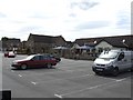
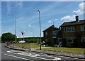

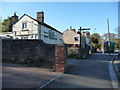
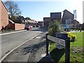

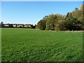
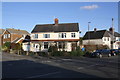
34 photos from this area
Area Information
Key information about the S40 4EU including its size, population, and administrative classification.
- Area Type
- Postcode
- Area Size
- 1.5 hectares
- Population
- Not available
- Population Density
- Not available
House Prices in S40 4EU
32
Properties
£165,997
Average Sold Price
£53,000
Lowest Price
£274,000
Highest Price
Showing 32 properties
| Address | Type | Beds | Baths | Last Sale Price | Last Sale Date | |
|---|---|---|---|---|---|---|
| 11 Larch Way, Brockwell, Chesterfield, S40 4EU | Semi-detached | 3 | 1 | £238,000 | Mar 2025 | |
| 27 Larch Way, Brockwell, Chesterfield, S40 4EU | house | - | - | £260,000 | Jan 2023 | |
| 37 Larch Way, Brockwell, Chesterfield, S40 4EU | house | - | - | £203,000 | Apr 2021 | |
| 25 Larch Way, Brockwell, Chesterfield, S40 4EU | Semi-detached | 3 | 1 | £235,000 | Mar 2021 | |
| 15 Larch Way, Brockwell, Chesterfield, S40 4EU | house | 3 | - | £235,000 | Mar 2021 | |
| 41 Larch Way, Brockwell, Chesterfield, S40 4EU | Semi-detached | 3 | 1 | £225,000 | Dec 2020 | |
| 7 Larch Way, Brockwell, Chesterfield, S40 4EU | Semi-detached | 3 | 1 | £219,950 | Feb 2018 | |
| 57 Larch Way, Brockwell, Chesterfield, S40 4EU | house | - | - | £274,000 | Aug 2017 | |
| 9 Larch Way, Brockwell, Chesterfield, S40 4EU | Semi-detached | 3 | 1 | £141,000 | Sep 2016 | |
| 55 Larch Way, Brockwell, Chesterfield, S40 4EU | Detached | 3 | 1 | £185,000 | Apr 2013 |
Page 1 of 4
Energy Efficiency in S40 4EU
Amenities
Schools
| Rank | School | Type | Entry gender | Ages |
|---|
Explore more schools in this area
Go to Schools tabDemographics
Household Size
Two person
most common
Accommodation Type
Houses
most common
Tenure
79
majority
Ethnic Group
White
most common
Religion
N/A
most common
Household Composition
N/A
most common
Age
47
median
Adults (30-64 years)
most common
Household Deprivation
N/A
with no deprivation
NS-SEC
38
in Lower managerial occupations
Explore more demographic insights in this area
Go to Demographics tabPlanning
Planning Constraints
- Flood RiskPremium
- Ramsar Wetland SitesPremium
- Area of Outstanding Natural BeautyPremium
- Protected Nature ReservePremium
- Protected WoodlandPremium