Area Overview for S40 1LL
Photos of S40 1LL
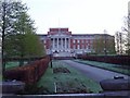
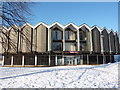
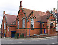
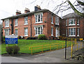
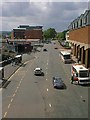
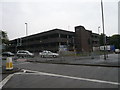
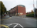
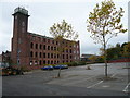
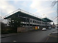

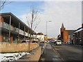
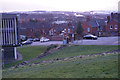
98 photos from this area
Area Information
Key information about the S40 1LL including its size, population, and administrative classification.
- Area Type
- Postcode
- Area Size
- 2421 m²
- Population
- 1982
- Population Density
- 4786 people/km²
House Prices in S40 1LL
9
Properties
£103,575
Average Sold Price
£52,950
Lowest Price
£145,000
Highest Price
Showing 9 properties
| Address | Type | Beds | Baths | Last Sale Price | Last Sale Date | |
|---|---|---|---|---|---|---|
| 11 Albion Road, Chesterfield, S40 1LL | Terraced | 3 | 1 | £145,000 | Nov 2022 | |
| 9 Albion Road, Chesterfield, S40 1LL | house | 2 | 1 | £120,000 | Jun 2021 | |
| 13 Albion Road, Chesterfield, S40 1LL | house | - | - | £103,500 | Feb 2014 | |
| 15 Albion Road, Chesterfield, S40 1LL | house | 3 | - | £85,000 | Mar 2013 | |
| 5 Albion Road, Chesterfield, S40 1LL | Terraced | 3 | - | £115,000 | Nov 2004 | |
| 7 Albion Road, Chesterfield, S40 1LL | Terraced | - | - | £52,950 | Jun 2002 | |
| Second Floor, West Bank, Albion Road, Chesterfield, S40 1LL | Office | - | - | - | - | |
| 10 Albion Road, Chesterfield, S40 1LL | Flat | - | - | - | - | |
| Ground And First Floor, West Bank, Albion Road, Chesterfield, S40 1LL | retail_financial | - | - | - | - |
Energy Efficiency in S40 1LL
Amenities
Schools
| Rank | School | Type | Entry gender | Ages |
|---|
Explore more schools in this area
Go to Schools tabDemographics
Household Size
One person
most common
Accommodation Type
Houses
most common
Tenure
55
majority
Ethnic Group
White
most common
Religion
N/A
most common
Household Composition
N/A
most common
Age
47
median
Adults (30-64 years)
most common
Household Deprivation
N/A
with no deprivation
NS-SEC
35
in Lower managerial occupations
Explore more demographic insights in this area
Go to Demographics tabPlanning
Planning Constraints
- Flood RiskPremium
- Ramsar Wetland SitesPremium
- Area of Outstanding Natural BeautyPremium
- Protected Nature ReservePremium
- Protected WoodlandPremium