Area Overview for S18 8QF
Photos of S18 8QF
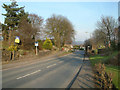
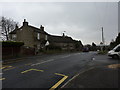
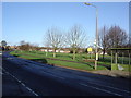
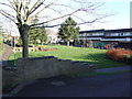
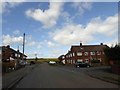
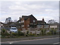
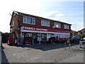
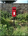
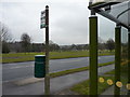
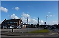
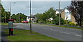
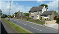
28 photos from this area
Area Information
Key information about the S18 8QF including its size, population, and administrative classification.
- Area Type
- Postcode
- Area Size
- 1.1 hectares
- Population
- 1683
- Population Density
- 845 people/km²
House Prices in S18 8QF
33
Properties
£228,557
Average Sold Price
£69,495
Lowest Price
£381,000
Highest Price
Showing 33 properties
| Address | Type | Beds | Baths | Last Sale Price | Last Sale Date | |
|---|---|---|---|---|---|---|
| 20 Sherwood Road, Dronfield Woodhouse, S18 8QF | Detached | 3 | 1 | £325,000 | Jul 2025 | |
| 26 Sherwood Road, Dronfield Woodhouse, S18 8QF | Semi-detached | 3 | 1 | £265,000 | Jul 2025 | |
| 18 Sherwood Road, Dronfield Woodhouse, S18 8QF | Detached | 3 | 2 | £325,000 | Jul 2023 | |
| 30 Sherwood Road, Dronfield Woodhouse, S18 8QF | Detached | 3 | 1 | £288,000 | Apr 2023 | |
| 13 Sherwood Road, Dronfield Woodhouse, S18 8QF | house | - | - | £381,000 | Aug 2022 | |
| 14 Sherwood Road, Dronfield Woodhouse, S18 8QF | Bungalow | - | - | £350,000 | Jul 2022 | |
| 52 Sherwood Road, Dronfield Woodhouse, S18 8QF | house | - | - | £352,500 | Feb 2022 | |
| 28 Sherwood Road, Dronfield Woodhouse, S18 8QF | Semi-detached | 3 | 1 | £240,000 | Nov 2020 | |
| 11 Sherwood Road, Dronfield Woodhouse, S18 8QF | Bungalow | 3 | 1 | £230,100 | Feb 2017 | |
| 32 Sherwood Road, Dronfield Woodhouse, S18 8QF | Detached | 3 | - | £192,000 | Aug 2015 |
Page 1 of 4
Energy Efficiency in S18 8QF
Amenities
Schools
| Rank | School | Type | Entry gender | Ages |
|---|
Explore more schools in this area
Go to Schools tabDemographics
Household Size
Two person
most common
Accommodation Type
Houses
most common
Tenure
96
majority
Ethnic Group
White
most common
Religion
N/A
most common
Household Composition
N/A
most common
Age
47
median
Adults (30-64 years)
most common
Household Deprivation
N/A
with no deprivation
NS-SEC
48
in Lower managerial occupations
Explore more demographic insights in this area
Go to Demographics tabPlanning
Planning Constraints
- Flood RiskPremium
- Ramsar Wetland SitesPremium
- Area of Outstanding Natural BeautyPremium
- Protected Nature ReservePremium
- Protected WoodlandPremium