Area Overview for S18 3AF
Photos of S18 3AF
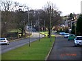
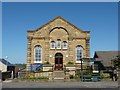
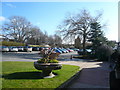
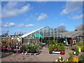
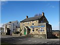
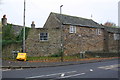
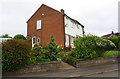
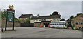
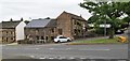
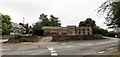
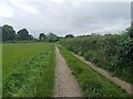
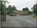
40 photos from this area
Area Information
Key information about the S18 3AF including its size, population, and administrative classification.
- Area Type
- Postcode
- Area Size
- 7364 m²
- Population
- 1564
- Population Density
- 2089 people/km²
House Prices in S18 3AF
25
Properties
£178,025
Average Sold Price
£63,000
Lowest Price
£362,000
Highest Price
Showing 25 properties
| Address | Type | Beds | Baths | Last Sale Price | Last Sale Date | |
|---|---|---|---|---|---|---|
| 12 Cunliffe Street, Coal Aston, S18 3AF | Detached | 3 | 1 | £362,000 | Jul 2025 | |
| 2 Cunliffe Street, Coal Aston, S18 3AF | Terraced | 3 | 1 | £200,000 | Dec 2024 | |
| 6 Cunliffe Street, Coal Aston, S18 3AF | Terraced | 3 | 1 | £240,000 | Apr 2024 | |
| 21 Cunliffe Street, Coal Aston, S18 3AF | house | - | - | £220,000 | Mar 2021 | |
| 8 Cunliffe Street, Coal Aston, S18 3AF | Detached | 3 | 3 | £290,000 | May 2020 | |
| 9 Cunliffe Street, Coal Aston, S18 3AF | house | - | - | £302,500 | Jul 2018 | |
| 7 Cunliffe Street, Coal Aston, S18 3AF | house | - | - | £168,000 | Nov 2017 | |
| 28 Cunliffe Street, Coal Aston, S18 3AF | Terraced | 2 | - | £140,000 | Feb 2015 | |
| 14-16 Cunliffe Street, Coal Aston, S18 3AF | Detached | 3 | - | £229,950 | Jun 2014 | |
| 15 Cunliffe Street, Coal Aston, S18 3AF | Semi-detached | 3 | - | £161,500 | Apr 2014 |
Page 1 of 3
Energy Efficiency in S18 3AF
Amenities
Schools
| Rank | School | Type | Entry gender | Ages |
|---|
Explore more schools in this area
Go to Schools tabDemographics
Household Size
Two person
most common
Accommodation Type
Houses
most common
Tenure
89
majority
Ethnic Group
White
most common
Religion
N/A
most common
Household Composition
N/A
most common
Age
47
median
Adults (30-64 years)
most common
Household Deprivation
N/A
with no deprivation
NS-SEC
36
in Lower managerial occupations
Explore more demographic insights in this area
Go to Demographics tabPlanning
Planning Constraints
- Flood RiskPremium
- Ramsar Wetland SitesPremium
- Area of Outstanding Natural BeautyPremium
- Protected Nature ReservePremium
- Protected WoodlandPremium