Area Overview for S18 2FF
Photos of S18 2FF
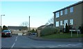
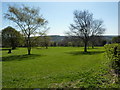
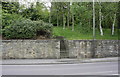
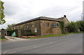
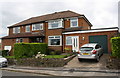
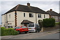
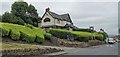
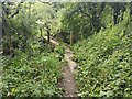
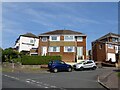
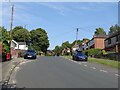
34 photos from this area
Area Information
Key information about the S18 2FF including its size, population, and administrative classification.
- Area Type
- Postcode
- Area Size
- 9748 m²
- Population
- 1564
- Population Density
- 2089 people/km²
House Prices in S18 2FF
26
Properties
£185,671
Average Sold Price
£48,500
Lowest Price
£335,000
Highest Price
Showing 26 properties
| Address | Type | Beds | Baths | Last Sale Price | Last Sale Date | |
|---|---|---|---|---|---|---|
| 6 Paddock Way, Dronfield, S18 2FF | Semi-detached | 4 | 3 | £335,000 | May 2024 | |
| 12 Paddock Way, Dronfield, S18 2FF | Retail | 3 | 1 | £288,000 | Feb 2022 | |
| 44 Paddock Way, Dronfield, S18 2FF | Bungalow | - | - | £270,000 | Sep 2021 | |
| 36 Paddock Way, Dronfield, S18 2FF | Bungalow | 2 | 1 | £203,000 | Jul 2020 | |
| 16 Paddock Way, Dronfield, S18 2FF | Semi-detached | 3 | 1 | £239,000 | May 2019 | |
| 42 Paddock Way, Dronfield, S18 2FF | Bungalow | - | - | £175,000 | Mar 2016 | |
| 32 Paddock Way, Dronfield, S18 2FF | Bungalow | 2 | 1 | £175,000 | Oct 2014 | |
| 38 Paddock Way, Dronfield, S18 2FF | Detached | - | - | £147,450 | Sep 2013 | |
| 28 Paddock Way, Dronfield, S18 2FF | Bungalow | 2 | - | £149,000 | Mar 2012 | |
| 34 Paddock Way, Dronfield, S18 2FF | Bungalow | 4 | 1 | £181,000 | Dec 2011 |
Page 1 of 3
Energy Efficiency in S18 2FF
Amenities
Schools
| Rank | School | Type | Entry gender | Ages |
|---|
Explore more schools in this area
Go to Schools tabDemographics
Household Size
Two person
most common
Accommodation Type
Houses
most common
Tenure
89
majority
Ethnic Group
White
most common
Religion
N/A
most common
Household Composition
N/A
most common
Age
47
median
Adults (30-64 years)
most common
Household Deprivation
N/A
with no deprivation
NS-SEC
36
in Lower managerial occupations
Explore more demographic insights in this area
Go to Demographics tabPlanning
Planning Constraints
- Flood RiskPremium
- Ramsar Wetland SitesPremium
- Area of Outstanding Natural BeautyPremium
- Protected Nature ReservePremium
- Protected WoodlandPremium