Area Overview for S18 1UB
Photos of S18 1UB
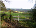
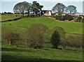
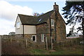
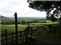
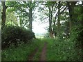
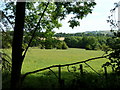
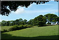
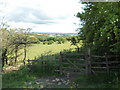
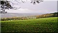
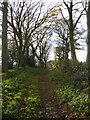
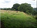
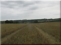
18 photos from this area
Area Information
Key information about the S18 1UB including its size, population, and administrative classification.
- Area Type
- Postcode
- Area Size
- 39.0 hectares
- Population
- 1814
- Population Density
- 174 people/km²
House Prices in S18 1UB
15
Properties
£357,727
Average Sold Price
£76,000
Lowest Price
£770,000
Highest Price
Showing 15 properties
| Address | Type | Beds | Baths | Last Sale Price | Last Sale Date | |
|---|---|---|---|---|---|---|
| 9 Highgate Lane, Dronfield, S18 1UB | Detached | - | - | £600,000 | May 2024 | |
| 5 Highgate Lane, Dronfield, S18 1UB | Detached | 4 | 3 | £770,000 | Nov 2022 | |
| 11A Highgate Lane, Dronfield, S18 1UB | Terraced | - | - | £379,500 | Sep 2015 | |
| Ouzlebank Farm, Highgate Lane, Dronfield, S18 1UB | house | - | - | £450,000 | Dec 2011 | |
| 23 Highgate Lane, Dronfield, S18 1UB | Semi-detached | - | - | £300,000 | May 2009 | |
| 21 Highgate Lane, Dronfield, S18 1UB | Semi-detached | - | - | £199,500 | Dec 2007 | |
| 1 Highgate Lane, Dronfield, S18 1UB | Detached | - | - | £500,000 | Jan 2007 | |
| 19 Highgate Lane, Dronfield, S18 1UB | Detached | - | - | £320,000 | Mar 2006 | |
| 3 Highgate Lane, Dronfield, S18 1UB | Semi-detached | - | - | £220,000 | Jul 2002 | |
| 17 Highgate Lane, Dronfield, S18 1UB | Semi-detached | - | - | £120,000 | Oct 2001 |
Page 1 of 2
Energy Efficiency in S18 1UB
Amenities
Schools
| Rank | School | Type | Entry gender | Ages |
|---|
Explore more schools in this area
Go to Schools tabDemographics
Household Size
Two person
most common
Accommodation Type
Houses
most common
Tenure
63
majority
Ethnic Group
White
most common
Religion
N/A
most common
Household Composition
N/A
most common
Age
47
median
Adults (30-64 years)
most common
Household Deprivation
N/A
with no deprivation
NS-SEC
28
in Lower managerial occupations
Explore more demographic insights in this area
Go to Demographics tabPlanning
Planning Constraints
- Flood RiskPremium
- Ramsar Wetland SitesPremium
- Area of Outstanding Natural BeautyPremium
- Protected Nature ReservePremium
- Protected WoodlandPremium