Area Overview for S18 1SJ
Photos of S18 1SJ
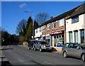
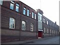
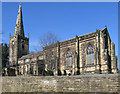
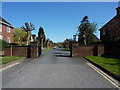
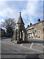
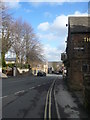
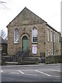
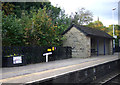
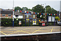
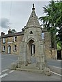
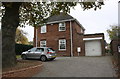
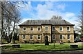
84 photos from this area
Area Information
Key information about the S18 1SJ including its size, population, and administrative classification.
- Area Type
- Postcode
- Area Size
- 3628 m²
- Population
- 1551
- Population Density
- 2560 people/km²
House Prices in S18 1SJ
16
Properties
£154,231
Average Sold Price
£48,000
Lowest Price
£330,000
Highest Price
Showing 16 properties
| Address | Type | Beds | Baths | Last Sale Price | Last Sale Date | |
|---|---|---|---|---|---|---|
| 21 Quoit Green, Dronfield, S18 1SJ | Semi-detached | 2 | 2 | £238,000 | Mar 2025 | |
| 4 Quoit Green, Dronfield, S18 1SJ | Terraced | 2 | 1 | £167,500 | Apr 2021 | |
| 10 Quoit Green, Dronfield, S18 1SJ | Cottage | 2 | 1 | £145,000 | Sep 2019 | |
| 8 Quoit Green, Dronfield, S18 1SJ | Terraced | 2 | 1 | £133,000 | Sep 2019 | |
| 14 Quoit Green, Dronfield, S18 1SJ | house | - | - | £258,000 | Aug 2019 | |
| 15 Quoit Green, Dronfield, S18 1SJ | Terraced | 3 | 1 | £132,000 | Jan 2018 | |
| 18 Quoit Green, Dronfield, S18 1SJ | Detached | 4 | 2 | £330,000 | Nov 2016 | |
| 23 Quoit Green, Dronfield, S18 1SJ | Semi-detached | 3 | 1 | £115,000 | Dec 2014 | |
| 9 Quoit Green, Dronfield, S18 1SJ | house | - | - | £185,000 | Nov 2013 | |
| 17 Quoit Green, Dronfield, S18 1SJ | Terraced | 1 | 1 | £100,000 | Jul 2006 |
Page 1 of 2
Energy Efficiency in S18 1SJ
Amenities
Schools
| Rank | School | Type | Entry gender | Ages |
|---|
Explore more schools in this area
Go to Schools tabDemographics
Household Size
One person
most common
Accommodation Type
Houses
most common
Tenure
64
majority
Ethnic Group
White
most common
Religion
N/A
most common
Household Composition
N/A
most common
Age
47
median
Adults (30-64 years)
most common
Household Deprivation
N/A
with no deprivation
NS-SEC
37
in Lower managerial occupations
Explore more demographic insights in this area
Go to Demographics tabPlanning
Planning Constraints
- Flood RiskPremium
- Ramsar Wetland SitesPremium
- Area of Outstanding Natural BeautyPremium
- Protected Nature ReservePremium
- Protected WoodlandPremium