Area Overview for Rushey Mead Ward
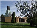
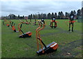
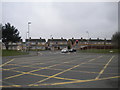
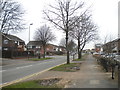
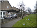
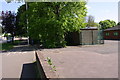
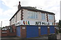
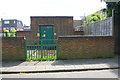
Photos of Rushey Mead Ward
Area Information
Rushey Mead Ward sits within the City of Leicester, forming a district in the East Midlands of England. This electoral ward covers an area of 3.7 square kilometres, defined by official boundaries established by Leicester City Council in May 2015. Living in Rushey Mead Ward means residing within a specific zone mapped for administrative purposes, situated at coordinates 52.662169, -1.110403. The ward functions as a distinct unit within the broader city structure, offering a defined locality for residents. It is not a standalone town but a governed sector of Leicester. Your daily life here is shaped by these clear boundaries which dictate local services and planning decisions. While the ward does not contain protected nature reserves, areas of outstanding natural beauty, or Ramsar wetland sites, it remains a functional part of the city's layout. The geography is straightforward, covering just under four square kilometres. This compact size suggests a walkable environment if local infrastructure supports it. Residents navigate a system designed for efficient administration rather than historic village layout. You are part of a larger urban community, yet the ward designation gives you a specific administrative home within Leicester.
- Area Type
- District Borough Unitary Ward
- Area Size
- 3.7 km²
- Population
- Not available
- Population Density
- Not available
Demographics
The community profile of Rushey Mead Ward reveals a mature population with a median age of seventy years. This age demographic indicates that the majority of residents fall into the older age bracket. Most common age data is recorded simply as the total age group, underscoring that the seventy-year median is the primary demographic indicator. Home ownership stands at sixty-one per cent of the population, suggesting that a significant portion of residents have secured their own property rather than renting. Regarding household composition and predominant ethnic groups, the available records group these under a total heading without further breakdown percentages. Religious affiliation data is similarly aggregated into a total category. The absence of specific breakdowns for ethnicity or religion means you must rely on the clear metrics of age and ownership. The area is overwhelmingly occupied by older homeowners. This static community profile implies a settled neighbourhood where long-term residents dominate the landscape. If you are considering homes in Rushey Mead Ward, expect to engage primarily with an older, owner-occupying demographic. The demographic landscape lacks the diversity of younger families or recent migrants, focusing instead on stability among those over seventy.
Household Size
Accommodation Type
Tenure
Ethnic Group
Religion
Household Composition
Age
Household Deprivation
NS-SEC
Explore more demographic insights in this area
Go to Demographics tabPlanning
Planning Constraints
- Flood RiskPremium
- Ramsar Wetland SitesPremium
- Area of Outstanding Natural BeautyPremium
- Protected Nature ReservePremium
- Protected WoodlandPremium
- Crime RiskPremium