Area Overview for Ravenstone & Packington Ward
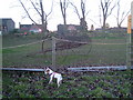
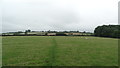
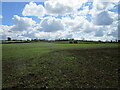
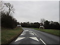
Photos of Ravenstone & Packington Ward
Area Information
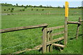
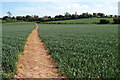
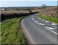
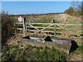
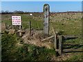
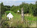
Living in Ravenstone & Packington Ward offers a distinct rural experience on the edge of the East Midlands. This electoral ward, situated within the North West Leicestershire District Council, spans approximately 20.3 square kilometres. It encompasses the specific communities of Ravenstone and Packington, alongside nearby locations such as Snibston and parts of Coalville. The area sits at coordinates around 52.72, -1.41, placing residents north-west of Coalville and close to Ashby de la Zouch. Daily life here is defined by its semi-rural character, far removed from the bustle of major urban centres. You will find a setting that prioritises quiet neighbourhoods over high-density living. The ward structure provides a clear administrative home for these localities, ensuring that services are organised around the specific needs of these villages. While the area is not devoid of activity, the overall feel is one of established rural living rather than rapid development. Prospective buyers looking for space and a connection to the countryside within Leicestershire will find this ward to be a practical choice. The layout supports a lifestyle where local amenities like small food stores serve the community directly, reinforcing a self-contained village atmosphere.
- Area Type
- District Borough Unitary Ward
- Area Size
- 20.3 km²
- Population
- Not available
- Population Density
- Not available
Demographics
The community in Ravenstone & Packington Ward is characterised by a stable, older population with a strong tradition of home ownership. The median age across the ward is 70 years, indicating a significant presence of mature residents and retirees. This demographic profile aligns with the finding that the 40 to 59 age group comprises 28% of the population, suggesting a steady cohort of middle-aged homeowners rather than a transient student population. Conversely, younger families with young children form 27% of the household composition, confirming that the area does accommodate new families despite the overall older median age. Home ownership stands at an impressive 81%, meaning the vast majority of households own their properties outright or with a mortgage. This high level of retention suggests a stable community where people tend to stay for the long term. The demographic makeup is predominantly White British, representing 93% of the population. You are also likely to engage with a community where Christianity plays a role, with 51% of residents identifying as Christian. This area sits firmly in a non-deprived category, reflecting the value residents place on their local environment.
Household Size
Accommodation Type
Tenure
Ethnic Group
Religion
Household Composition
Age
Household Deprivation
NS-SEC
Explore more demographic insights in this area
Go to Demographics tabPlanning
Planning Constraints
- Flood RiskPremium
- Ramsar Wetland SitesPremium
- Area of Outstanding Natural BeautyPremium
- Protected WoodlandPremium
- Crime RiskPremium