Area Overview for Quinton
Photos of Quinton
Area Information
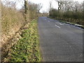
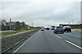
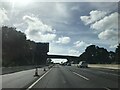
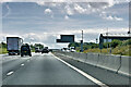
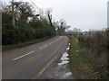
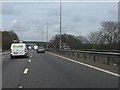
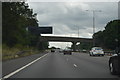
Living in Quinton means residing in a quiet civil parish on the western edge of Birmingham. You will find this residential suburb approximately five miles from the city centre, bordering Harborne, Bartley Green, and Warley. The area covers 4.4 square kilometres and sits largely to the west of the M5 motorway, separated from Halesowen by that major road. Quinton developed significantly during the 1930s and 1950s, evolving from a rural character into a planned community with semi-detached houses and low-rise estates. You will encounter Victorian terraced houses in the original village core around Christ Church and High Street, contrasting with modern developments like the office park at Quinton Meadows. The highest point in this neighbourhood reaches 226 metres above sea level near Christ Church on Hagley Road West. This historic church, built in 1840 from red sandstone, holds the distinction of having the highest building spire in Birmingham. Local history notes that the parish once contained small coal mines and nail manufacturing sites. Today, you will see the area retains its apprenticeship to the past through named landmarks like Nailer's Cottage. The town operates under the 0121 dialling code and serves as a community where residents rely on local bus services rather than direct railway connections.
- Area Type
- Parish
- Area Size
- 4.4 km²
- Population
- Not available
- Population Density
- Not available
Demographics
You will find Quinton to be a mature community with an established resident base. The demographic profile shows a notable proportion of older adults, with a median age of 70 years. This suggests a population that has lived in the area for decades or is here to retire. Home ownership is the dominant mode of living, with 82 per cent of households owning their property outright or with a mortgage. This high figure indicates a stable community where residents are likely to stay for the long term. The area accommodates various housing needs, but the dominance of owner-occupiers shapes the local social fabric. While specific data on household composition percentages is not provided in the current records, the high ownership rate implies a neighbourly environment where families and retirees interact frequently. The presence of 1950s council housing alongside private homes from the 1930s creates a mixed tenure landscape within the parish boundaries. You should expect a pace of life that balances the quiet of the rural village core with the convenience of suburban amenities. The area does not record data on specific ethnic groups or religious affiliations in the provided dataset, so you should rely on the established character of the neighbourhood rather than speculative demographics.
Household Size
Accommodation Type
Tenure
Ethnic Group
Religion
Household Composition
Age
Household Deprivation
NS-SEC
Explore more demographic insights in this area
Go to Demographics tabPlanning
Planning Constraints
- Flood RiskPremium
- Ramsar Wetland SitesPremium
- Area of Outstanding Natural BeautyPremium
- Protected Nature ReservePremium
- Protected WoodlandPremium
- Crime RiskPremium