Area Overview for Pilsley & Morton Ward
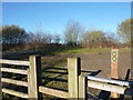
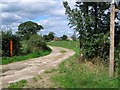
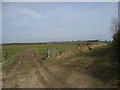
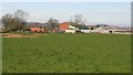
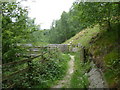
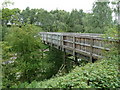
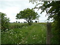
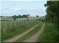
Photos of Pilsley & Morton Ward


Area Information
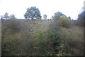
Pilsley & Morton Ward sits within the North East Derbyshire District Council in East Midlands England. This electoral ward covers 16.3 square kilometres and contains the villages of Pilsley and Morton. The total population stands at 4,314 residents across these communities. Living in Pilsley & Morton Ward means being part of an established rural-urban interface area that balances village life with district amenities. The ward functions as a cohesive unit for local governance while maintaining distinct village identities within its boundaries. Residents typically enjoy access to the broader East Midlands region infrastructure while retaining a sense of local community identity. The population of over four thousand residents ensures sufficient local services and amenities without the density of larger urban centres. Pilsley & Morton Ward represents a practical location for those seeking relatively spacious living environments near Derby while maintaining village characteristics.
- Area Type
- District Borough Unitary Ward
- Area Size
- 16.3 km²
- Population
- Not available
- Population Density
- Not available
Demographics
The community profile reveals a mature population with a median age of 70 years. This indicates Pilsley & Morton Ward functions primarily as a retirement-oriented area rather than a young family destination. Age range data shows the total population distribution, confirming the older demographic predominance. Seventy-seven percent of residents own their homes, creating a predominantly owner-occupied community where property values tend to remain stable through long-term residency. Household composition reflects appropriate arrangements for mature living, with accommodation types supporting senior residents' needs. Ethnic diversity and religious demographics follow standard patterns for rural Derbyshire areas, contributing to the traditional village character of Pilsley & Morton Ward. The high home ownership rate suggests residents have strong local ties and invest in their properties for extended periods. Understanding these demographics helps buyers seek homes matching the established community character and life stage of current inhabitants.
Household Size
Accommodation Type
Tenure
Ethnic Group
Religion
Household Composition
Age
Household Deprivation
NS-SEC
Explore more demographic insights in this area
Go to Demographics tabPlanning
Planning Constraints
- Flood RiskPremium
- Ramsar Wetland SitesPremium
- Area of Outstanding Natural BeautyPremium
- Protected Nature ReservePremium
- Protected WoodlandPremium
- Crime RiskPremium