Area Overview for PE9 2XN
Photos of PE9 2XN
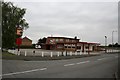
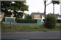
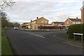
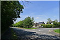
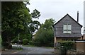
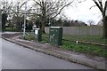
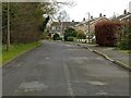
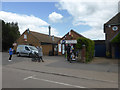
41 photos from this area
Area Information
Key information about the PE9 2XN including its size, population, and administrative classification.
- Area Type
- Postcode
- Area Size
- 7121 m²
- Population
- 1357
- Population Density
- 4199 people/km²
House Prices in PE9 2XN
12
Properties
£358,245
Average Sold Price
£59,950
Lowest Price
£760,000
Highest Price
Showing 12 properties
| Address | Type | Beds | Baths | Last Sale Price | Last Sale Date | |
|---|---|---|---|---|---|---|
| 22 Ermine Way, Stamford, PE9 2XN | Detached | 4 | 2 | £760,000 | Feb 2024 | |
| Thalassa, 18 Ermine Way, Stamford, PE9 2XN | Detached | 5 | 3 | £497,500 | Jul 2019 | |
| 5 Ermine Way, Stamford, PE9 2XN | Detached | 3 | 1 | £350,000 | Sep 2018 | |
| 16 Ermine Way, Stamford, PE9 2XN | Detached | 3 | 2 | £455,000 | Feb 2018 | |
| Blossom Falls, 9 Ermine Way, Stamford, PE9 2XN | Detached | 4 | 2 | £520,000 | Feb 2017 | |
| 20 Ermine Way, Stamford, PE9 2XN | house | 4 | - | £285,000 | Nov 2011 | |
| Holmlea, 11 Ermine Way, Stamford, PE9 2XN | Detached | 3 | 1 | £250,000 | Nov 2009 | |
| 17 Ermine Way, Stamford, PE9 2XN | Semi-detached | - | - | £255,000 | Jan 2007 | |
| Newlands, 13 Ermine Way, Stamford, PE9 2XN | house | - | - | £150,000 | Oct 2001 | |
| 15 Ermine Way, Stamford, PE9 2XN | Detached | - | - | £59,950 | May 1996 |
Page 1 of 2
Energy Efficiency in PE9 2XN
Amenities
Schools
| Rank | School | Type | Entry gender | Ages |
|---|
Explore more schools in this area
Go to Schools tabDemographics
Household Size
Two person
most common
Accommodation Type
Houses
most common
Tenure
84
majority
Ethnic Group
White
most common
Religion
N/A
most common
Household Composition
N/A
most common
Age
47
median
Adults (30-64 years)
most common
Household Deprivation
N/A
with no deprivation
NS-SEC
41
in Lower managerial occupations
Explore more demographic insights in this area
Go to Demographics tabPlanning
Planning Constraints
- Flood RiskPremium
- Ramsar Wetland SitesPremium
- Area of Outstanding Natural BeautyPremium
- Protected Nature ReservePremium
- Protected WoodlandPremium