Area Overview for PE8 4LL
Photos of PE8 4LL

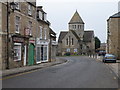
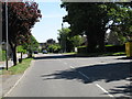
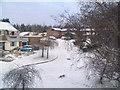
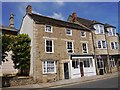
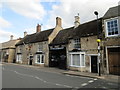
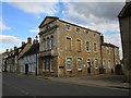
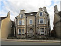
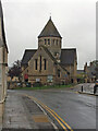
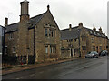
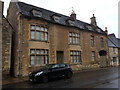
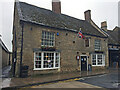
59 photos from this area
Area Information
Key information about the PE8 4LL including its size, population, and administrative classification.
- Area Type
- Postcode
- Area Size
- 8573 m²
- Population
- 1327
- Population Density
- 2608 people/km²
House Prices in PE8 4LL
37
Properties
£198,172
Average Sold Price
£30,750
Lowest Price
£305,000
Highest Price
Showing 37 properties
| Address | Type | Beds | Baths | Last Sale Price | Last Sale Date | |
|---|---|---|---|---|---|---|
| 38 Rock Road, Oundle, PE8 4LL | Terraced | 2 | - | £200,000 | Jun 2025 | |
| 42 Rock Road, Oundle, PE8 4LL | house | 3 | 3 | £285,000 | Oct 2024 | |
| 32 Rock Road, Oundle, PE8 4LL | Terraced | 2 | 1 | £161,000 | Jul 2023 | |
| 26 Rock Road, Oundle, PE8 4LL | Terraced | 3 | 1 | £230,000 | Jul 2023 | |
| 36 Rock Road, Oundle, PE8 4LL | house | - | - | £200,000 | Jun 2023 | |
| 22 Rock Road, Oundle, PE8 4LL | Terraced | 3 | 1 | £290,000 | Apr 2023 | |
| 62 Rock Road, Oundle, PE8 4LL | house | - | - | £259,000 | Jan 2023 | |
| 46 Rock Road, Oundle, PE8 4LL | Semi-detached | 3 | 2 | £305,000 | Dec 2022 | |
| 34 Rock Road, Oundle, PE8 4LL | Terraced | 3 | 1 | £227,500 | Sep 2022 | |
| 64 Rock Road, Oundle, PE8 4LL | Semi-detached | 3 | 1 | £210,000 | Nov 2019 |
Page 1 of 4
Energy Efficiency in PE8 4LL
Amenities
Schools
| Rank | School | Type | Entry gender | Ages |
|---|
Explore more schools in this area
Go to Schools tabDemographics
Household Size
Two person
most common
Accommodation Type
Houses
most common
Tenure
63
majority
Ethnic Group
White
most common
Religion
N/A
most common
Household Composition
N/A
most common
Age
47
median
Adults (30-64 years)
most common
Household Deprivation
N/A
with no deprivation
NS-SEC
33
in Lower managerial occupations
Explore more demographic insights in this area
Go to Demographics tabPlanning
Planning Constraints
- Flood RiskPremium
- Ramsar Wetland SitesPremium
- Area of Outstanding Natural BeautyPremium
- Protected Nature ReservePremium
- Protected WoodlandPremium