Area Overview for PE6 9PU
Photos of PE6 9PU
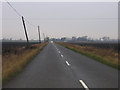
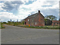
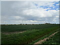
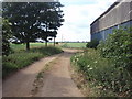
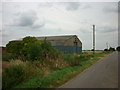

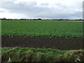
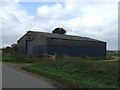
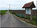
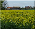

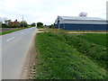
22 photos from this area
Area Information
Key information about the PE6 9PU including its size, population, and administrative classification.
- Area Type
- Postcode
- Area Size
- 4.7 km²
- Population
- 1865
- Population Density
- 130 people/km²
House Prices in PE6 9PU
15
Properties
£170,000
Average Sold Price
£170,000
Lowest Price
£170,000
Highest Price
Showing 15 properties
| Address | Type | Beds | Baths | Last Sale Price | Last Sale Date | |
|---|---|---|---|---|---|---|
| Home Farm, Baston Outgang Road, Baston, PE6 9PU | Detached | - | - | £170,000 | Aug 2004 | |
| Tilly's Barn, Baston Outgang Road, Baston, PE6 9PU | Detached | - | - | - | - | |
| Baston Fen Farm, Baston Outgang Road, Baston, PE6 9PU | office_workshop | - | - | - | - | |
| 2, Deeping Fen Farm Bungalows, Baston Outgang Road, Baston, PE6 9PU | Semi-detached | - | - | - | - | |
| Corn Dryer, Baston Outgang Road, Baston, PE6 9PU | Detached | - | - | - | - | |
| Wardens Bungalow, Baston Fen Leisure Park, Cross Road, Baston, PE6 9PU | Mobile Home | - | - | - | - | |
| Black Drove Cottage East, 12 Baston Outgang Road, Baston, PE6 9PU | Semi-detached | - | - | - | - | |
| Black Drove Farm, Baston Outgang Road, Baston, PE6 9PU | house | 1 | 1 | - | - | |
| Watersedge, Home Farm, Baston Outgang Road, Baston, PE6 9PU | Detached | - | - | - | - | |
| Agricultural Building, Baston Fen Farm, Baston Outgang Road, Baston, PE6 9PU | Farm | - | - | - | - |
Page 1 of 2
Energy Efficiency in PE6 9PU
Amenities
Schools
| Rank | School | Type | Entry gender | Ages |
|---|
Explore more schools in this area
Go to Schools tabDemographics
Household Size
Two person
most common
Accommodation Type
Houses
most common
Tenure
85
majority
Ethnic Group
White
most common
Religion
N/A
most common
Household Composition
N/A
most common
Age
47
median
Adults (30-64 years)
most common
Household Deprivation
N/A
with no deprivation
NS-SEC
43
in Lower managerial occupations
Explore more demographic insights in this area
Go to Demographics tabPlanning
Planning Constraints
- Flood RiskPremium
- Ramsar Wetland SitesPremium
- Area of Outstanding Natural BeautyPremium
- Protected Nature ReservePremium
- Protected WoodlandPremium