Area Overview for PE24 5AD
Photos of PE24 5AD
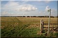
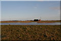
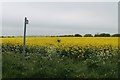
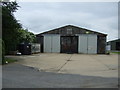
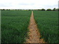
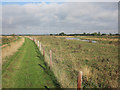
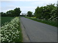
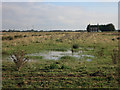
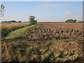
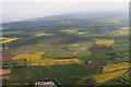
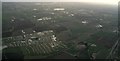
13 photos from this area
Area Information
Key information about the PE24 5AD including its size, population, and administrative classification.
- Area Type
- Postcode
- Area Size
- 3.2 km²
- Population
- 1337
- Population Density
- 85 people/km²
House Prices in PE24 5AD
23
Properties
£190,000
Average Sold Price
£75,000
Lowest Price
£285,000
Highest Price
Showing 23 properties
| Address | Type | Beds | Baths | Last Sale Price | Last Sale Date | |
|---|---|---|---|---|---|---|
| Fieldview, Middlemarsh Road, Burgh Le Marsh, PE24 5AD | Bungalow | - | - | £285,000 | Mar 2023 | |
| Whitegates, Middlemarsh Road, Burgh Le Marsh, PE24 5AD | Detached | 4 | 1 | £285,000 | Feb 2022 | |
| Sycamore Lodge, Middlemarsh Road, Burgh Le Marsh, PE24 5AD | house | - | - | £225,000 | Mar 2013 | |
| The Magpie, Middlemarsh Road, Burgh Le Marsh, PE24 5AD | Bungalow | 3 | 1 | £75,000 | Aug 2001 | |
| Vine Farm, Middlemarsh Road, Burgh Le Marsh, PE24 5AD | house | - | - | £80,000 | Apr 2001 | |
| The Elms, Middlemarsh Road, Burgh Le Marsh, PE24 5AD | house | 4 | 1 | - | - | |
| Middle Marsh Farm, Middlemarsh Road, Burgh Le Marsh, PE24 5AD | Bungalow | 2 | - | - | - | |
| Roost, Middlemarsh Road, Burgh Le Marsh, PE24 5AD | Bungalow | 3 | 1 | - | - | |
| Jekenis, Middlemarsh Road, Burgh Le Marsh, PE24 5AD | Detached | - | - | - | - | |
| Swiss Bungalow, Middlemarsh Road, Burgh Le Marsh, PE24 5AD | Bungalow | - | - | - | - |
Page 1 of 3
Energy Efficiency in PE24 5AD
Amenities
Schools
| Rank | School | Type | Entry gender | Ages |
|---|
Explore more schools in this area
Go to Schools tabDemographics
Household Size
Two person
most common
Accommodation Type
Houses
most common
Tenure
65
majority
Ethnic Group
White
most common
Religion
N/A
most common
Household Composition
N/A
most common
Age
47
median
Adults (30-64 years)
most common
Household Deprivation
N/A
with no deprivation
NS-SEC
21
in Lower managerial occupations
Explore more demographic insights in this area
Go to Demographics tabPlanning
Planning Constraints
- Flood RiskPremium
- Ramsar Wetland SitesPremium
- Area of Outstanding Natural BeautyPremium
- Protected Nature ReservePremium
- Protected WoodlandPremium