Area Overview for PE23 5SY
Photos of PE23 5SY
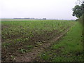
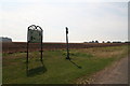
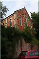
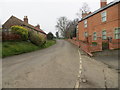
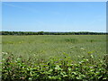
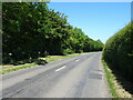
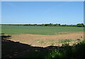
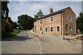
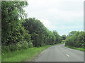
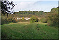
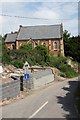
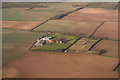
12 photos from this area
Area Information
Key information about the PE23 5SY including its size, population, and administrative classification.
- Area Type
- Postcode
- Area Size
- 14.8 hectares
- Population
- 1977
- Population Density
- 28 people/km²
House Prices in PE23 5SY
15
Properties
£259,444
Average Sold Price
£58,000
Lowest Price
£795,000
Highest Price
Showing 15 properties
| Address | Type | Beds | Baths | Last Sale Price | Last Sale Date | |
|---|---|---|---|---|---|---|
| Church Gate, Mill Lane, Welton Le Marsh, PE23 5SY | house | - | - | £350,000 | Jan 2025 | |
| Graves Farm, Mill Lane, Welton Le Marsh, PE23 5SY | Detached | 7 | 5 | £795,000 | May 2022 | |
| The Beeches, Mill Lane, Welton Le Marsh, PE23 5SY | Bungalow | - | - | £262,000 | Jul 2021 | |
| Bay Tree House, Mill Lane, Welton Le Marsh, PE23 5SY | house | - | - | £225,000 | Sep 2015 | |
| South View, Mill Lane, Welton Le Marsh, PE23 5SY | house | - | - | £215,000 | Jun 2011 | |
| 2, Mill Lane Cottage, Mill Lane, Welton Le Marsh, PE23 5SY | Unknown | - | - | £217,500 | Jun 2010 | |
| Chapel House, Mill Lane, Welton Le Marsh, PE23 5SY | house | 3 | - | £137,500 | May 2003 | |
| Hillcrest, Mill Lane, Welton Le Marsh, PE23 5SY | Detached | - | - | £75,000 | Sep 2000 | |
| New Bungalow, Mill Lane, Welton Le Marsh, PE23 5SY | Bungalow | 3 | 1 | £58,000 | Feb 1996 | |
| Hunters Lodge, Mill Lane, Welton Le Marsh, PE23 5SY | house | - | - | - | - |
Page 1 of 2
Energy Efficiency in PE23 5SY
Amenities
Schools
| Rank | School | Type | Entry gender | Ages |
|---|
Explore more schools in this area
Go to Schools tabDemographics
Household Size
Two person
most common
Accommodation Type
Houses
most common
Tenure
78
majority
Ethnic Group
White
most common
Religion
N/A
most common
Household Composition
N/A
most common
Age
47
median
Adults (30-64 years)
most common
Household Deprivation
N/A
with no deprivation
NS-SEC
25
in Lower managerial occupations
Explore more demographic insights in this area
Go to Demographics tabPlanning
Planning Constraints
- Flood RiskPremium
- Ramsar Wetland SitesPremium
- Area of Outstanding Natural BeautyPremium
- Protected Nature ReservePremium
- Protected WoodlandPremium