Area Overview for PE23 4BJ
Photos of PE23 4BJ
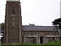
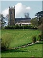
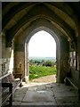
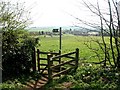
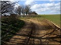
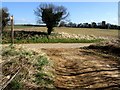
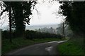
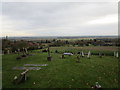
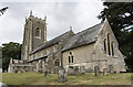
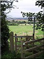
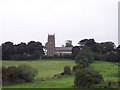
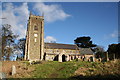
37 photos from this area
Area Information
Key information about the PE23 4BJ including its size, population, and administrative classification.
- Area Type
- Postcode
- Area Size
- 85.2 hectares
- Population
- 1293
- Population Density
- 37 people/km²
House Prices in PE23 4BJ
19
Properties
£216,422
Average Sold Price
£59,950
Lowest Price
£344,747
Highest Price
Showing 19 properties
| Address | Type | Beds | Baths | Last Sale Price | Last Sale Date | |
|---|---|---|---|---|---|---|
| The Spinney, Hall Lane, West Keal, PE23 4BJ | Bungalow | 3 | 1 | £344,747 | Nov 2023 | |
| Magnolias, Hall Lane, West Keal, PE23 4BJ | Retail | 2 | 1 | £237,500 | May 2022 | |
| Moles Retreat, Hall Lane, West Keal, PE23 4BJ | Bungalow | 3 | 1 | £279,950 | Oct 2021 | |
| Summerfield, Hall Lane, West Keal, PE23 4BJ | Bungalow | - | - | £250,000 | Jul 2021 | |
| Wolds Haven, Hall Lane, West Keal, PE23 4BJ | Bungalow | - | - | £272,500 | Jun 2021 | |
| Trinovantes, Hall Lane, West Keal, PE23 4BJ | Bungalow | - | - | £330,000 | Aug 2020 | |
| Fairfield, Hall Lane, West Keal, PE23 4BJ | Bungalow | - | - | £145,000 | Aug 2010 | |
| The Rookery, Hall Lane, West Keal, PE23 4BJ | Detached | - | - | £310,000 | Aug 2003 | |
| The Briars, Hall Lane, West Keal, PE23 4BJ | Detached | - | - | £86,000 | Oct 2002 | |
| The Hollies, Hall Lane, West Keal, PE23 4BJ | Detached | - | - | £65,000 | Aug 2001 |
Page 1 of 2
Energy Efficiency in PE23 4BJ
Amenities
Schools
| Rank | School | Type | Entry gender | Ages |
|---|
Explore more schools in this area
Go to Schools tabDemographics
Household Size
Two person
most common
Accommodation Type
Houses
most common
Tenure
81
majority
Ethnic Group
White
most common
Religion
N/A
most common
Household Composition
N/A
most common
Age
47
median
Adults (30-64 years)
most common
Household Deprivation
N/A
with no deprivation
NS-SEC
33
in Lower managerial occupations
Explore more demographic insights in this area
Go to Demographics tabPlanning
Planning Constraints
- Flood RiskPremium
- Ramsar Wetland SitesPremium
- Area of Outstanding Natural BeautyPremium
- Protected Nature ReservePremium
- Protected WoodlandPremium