Area Overview for PE21 0QR
Photos of PE21 0QR
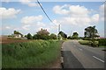
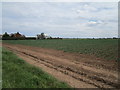
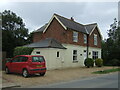
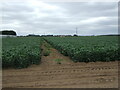
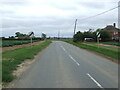


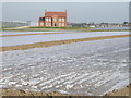
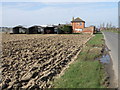
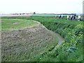
13 photos from this area
Area Information
Key information about the PE21 0QR including its size, population, and administrative classification.
- Area Type
- Postcode
- Area Size
- 82.4 hectares
- Population
- 1944
- Population Density
- 164 people/km²
House Prices in PE21 0QR
36
Properties
£641,321
Average Sold Price
£35,500
Lowest Price
£6,500,000
Highest Price
Showing 36 properties
| Address | Type | Beds | Baths | Last Sale Price | Last Sale Date | |
|---|---|---|---|---|---|---|
| Tanamera, Fishtoft Road, Fishtoft, Boston, PE21 0QR | Detached | 3 | 1 | £287,500 | Aug 2024 | |
| Netherlands, Fishtoft Road, Fishtoft, Boston, PE21 0QR | Bungalow | 3 | 1 | £273,000 | Mar 2023 | |
| Ruanne, Fishtoft Road, Fishtoft, Boston, PE21 0QR | Bungalow | - | - | £325,000 | Dec 2022 | |
| Havenside House, Fishtoft Road, Fishtoft, Boston, PE21 0QR | Detached | - | - | £6,500,000 | Oct 2022 | |
| Stone End, Fishtoft Road, Fishtoft, Boston, PE21 0QR | Bungalow | - | - | £360,000 | Sep 2022 | |
| Sandy Lodge, Fishtoft Road, Fishtoft, Boston, PE21 0QR | Bungalow | 2 | 1 | £110,000 | Jul 2021 | |
| Tivoli, Fishtoft Road, Fishtoft, Boston, PE21 0QR | Bungalow | - | - | £300,000 | Mar 2021 | |
| Ashlea, Fishtoft Road, Fishtoft, Boston, PE21 0QR | Bungalow | 2 | 1 | £164,000 | Jul 2019 | |
| Ferndale, Fishtoft Road, Fishtoft, Boston, PE21 0QR | Bungalow | 3 | 1 | £107,000 | Sep 2014 | |
| Fairways, Fishtoft Road, Fishtoft, Boston, PE21 0QR | Bungalow | 2 | - | £90,000 | Dec 2013 |
Page 1 of 4
Energy Efficiency in PE21 0QR
Amenities
Schools
| Rank | School | Type | Entry gender | Ages |
|---|
Explore more schools in this area
Go to Schools tabDemographics
Household Size
Two person
most common
Accommodation Type
Houses
most common
Tenure
77
majority
Ethnic Group
White
most common
Religion
N/A
most common
Household Composition
N/A
most common
Age
47
median
Adults (30-64 years)
most common
Household Deprivation
N/A
with no deprivation
NS-SEC
27
in Lower managerial occupations
Explore more demographic insights in this area
Go to Demographics tabPlanning
Planning Constraints
- Flood RiskPremium
- Ramsar Wetland SitesPremium
- Area of Outstanding Natural BeautyPremium
- Protected Nature ReservePremium
- Protected WoodlandPremium