Area Overview for PE20 2NR
Photos of PE20 2NR
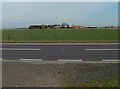
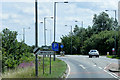
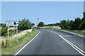

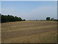
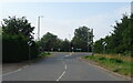
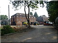
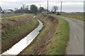
16 photos from this area
Area Information
Key information about the PE20 2NR including its size, population, and administrative classification.
- Area Type
- Postcode
- Area Size
- 4.5 hectares
- Population
- 2439
- Population Density
- 75 people/km²
House Prices in PE20 2NR
19
Properties
£215,541
Average Sold Price
£56,000
Lowest Price
£320,000
Highest Price
Showing 19 properties
| Address | Type | Beds | Baths | Last Sale Price | Last Sale Date | |
|---|---|---|---|---|---|---|
| Two Hoots, Sleaford Road, Wigtoft, Boston, PE20 2NR | Bungalow | 3 | 1 | £250,000 | Dec 2025 | |
| Charnwood, Sleaford Road, Wigtoft, Boston, PE20 2NR | house | - | - | £302,500 | Jun 2023 | |
| Biljoy, Sleaford Road, Wigtoft, Boston, PE20 2NR | Bungalow | - | - | £232,000 | Sep 2021 | |
| Fleur House, Sleaford Road, Wigtoft, Boston, PE20 2NR | house | - | - | £176,000 | May 2021 | |
| Fir Tree Lodge, Sleaford Road, Wigtoft, Boston, PE20 2NR | Bungalow | - | - | £290,000 | Oct 2019 | |
| Wilber House, Sleaford Road, Wigtoft, Boston, PE20 2NR | house | - | - | £192,500 | Apr 2017 | |
| Pond House, Sleaford Road, Wigtoft, Boston, PE20 2NR | Flat | - | - | £320,000 | Feb 2017 | |
| Japonica House, Sleaford Road, Wigtoft, Boston, PE20 2NR | Detached | 4 | - | £182,500 | Aug 2013 | |
| The Grange, Sleaford Road, Wigtoft, Boston, PE20 2NR | Detached | 4 | 2 | £210,000 | Sep 2012 | |
| The Lions, Sleaford Road, Wigtoft, Boston, PE20 2NR | Bungalow | - | - | £125,000 | May 2010 |
Page 1 of 2
Energy Efficiency in PE20 2NR
Amenities
Schools
| Rank | School | Type | Entry gender | Ages |
|---|
Explore more schools in this area
Go to Schools tabDemographics
Household Size
Two person
most common
Accommodation Type
Houses
most common
Tenure
75
majority
Ethnic Group
White
most common
Religion
N/A
most common
Household Composition
N/A
most common
Age
47
median
Adults (30-64 years)
most common
Household Deprivation
N/A
with no deprivation
NS-SEC
27
in Lower managerial occupations
Explore more demographic insights in this area
Go to Demographics tabPlanning
Planning Constraints
- Flood RiskPremium
- Ramsar Wetland SitesPremium
- Area of Outstanding Natural BeautyPremium
- Protected Nature ReservePremium
- Protected WoodlandPremium