Area Overview for PE12 9NE
Photos of PE12 9NE
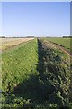
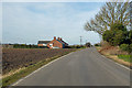
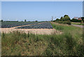
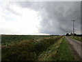
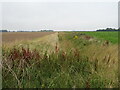
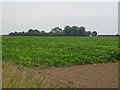
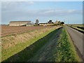
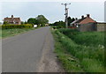
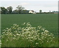
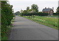
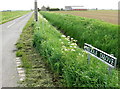
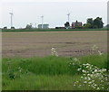
15 photos from this area
Area Information
Key information about the PE12 9NE including its size, population, and administrative classification.
- Area Type
- Postcode
- Area Size
- 76.0 hectares
- Population
- 2312
- Population Density
- 45 people/km²
House Prices in PE12 9NE
17
Properties
£197,464
Average Sold Price
£89,000
Lowest Price
£350,000
Highest Price
Showing 17 properties
| Address | Type | Beds | Baths | Last Sale Price | Last Sale Date | |
|---|---|---|---|---|---|---|
| Puddle Paddock, Blackbarn Road, Gedney Drove End, Spalding, PE12 9NE | Bungalow | 3 | 1 | £350,000 | Apr 2023 | |
| 7 Blackbarn Road, Gedney Drove End, Spalding, PE12 9NE | house | - | - | £219,000 | Apr 2021 | |
| The Forge, Main Road, Gedney Drove End, Spalding, PE12 9NE | Detached | 3 | 2 | £291,000 | Oct 2020 | |
| 4 Blackbarn Road, Gedney Drove End, Spalding, PE12 9NE | Semi-detached | 3 | 2 | £183,000 | Sep 2020 | |
| 1 Blackbarn Road, Gedney Drove End, Spalding, PE12 9NE | Semi-detached | - | - | £106,250 | Dec 2007 | |
| 5 Blackbarn Road, Gedney Drove End, Spalding, PE12 9NE | Semi-detached | - | - | £144,000 | May 2007 | |
| Lark Rise, Main Road, Gedney Drove End, Spalding, PE12 9NE | Semi-detached | - | - | £89,000 | Dec 2002 | |
| Welby House, Blackbarn Road, Gedney Drove End, Spalding, PE12 9NE | house | 4 | 1 | - | - | |
| Formerly The Forge, Main Road, Gedney Drove End, Spalding, PE12 9NE | Detached | - | - | - | - | |
| 6 Blackbarn Road, Gedney Drove End, Spalding, PE12 9NE | Semi-detached | - | - | - | - |
Page 1 of 2
Energy Efficiency in PE12 9NE
Amenities
Schools
| Rank | School | Type | Entry gender | Ages |
|---|
Explore more schools in this area
Go to Schools tabDemographics
Household Size
Two person
most common
Accommodation Type
Houses
most common
Tenure
76
majority
Ethnic Group
White
most common
Religion
N/A
most common
Household Composition
N/A
most common
Age
47
median
Adults (30-64 years)
most common
Household Deprivation
N/A
with no deprivation
NS-SEC
25
in Lower managerial occupations
Explore more demographic insights in this area
Go to Demographics tabPlanning
Planning Constraints
- Flood RiskPremium
- Ramsar Wetland SitesPremium
- Area of Outstanding Natural BeautyPremium
- Protected Nature ReservePremium
- Protected WoodlandPremium